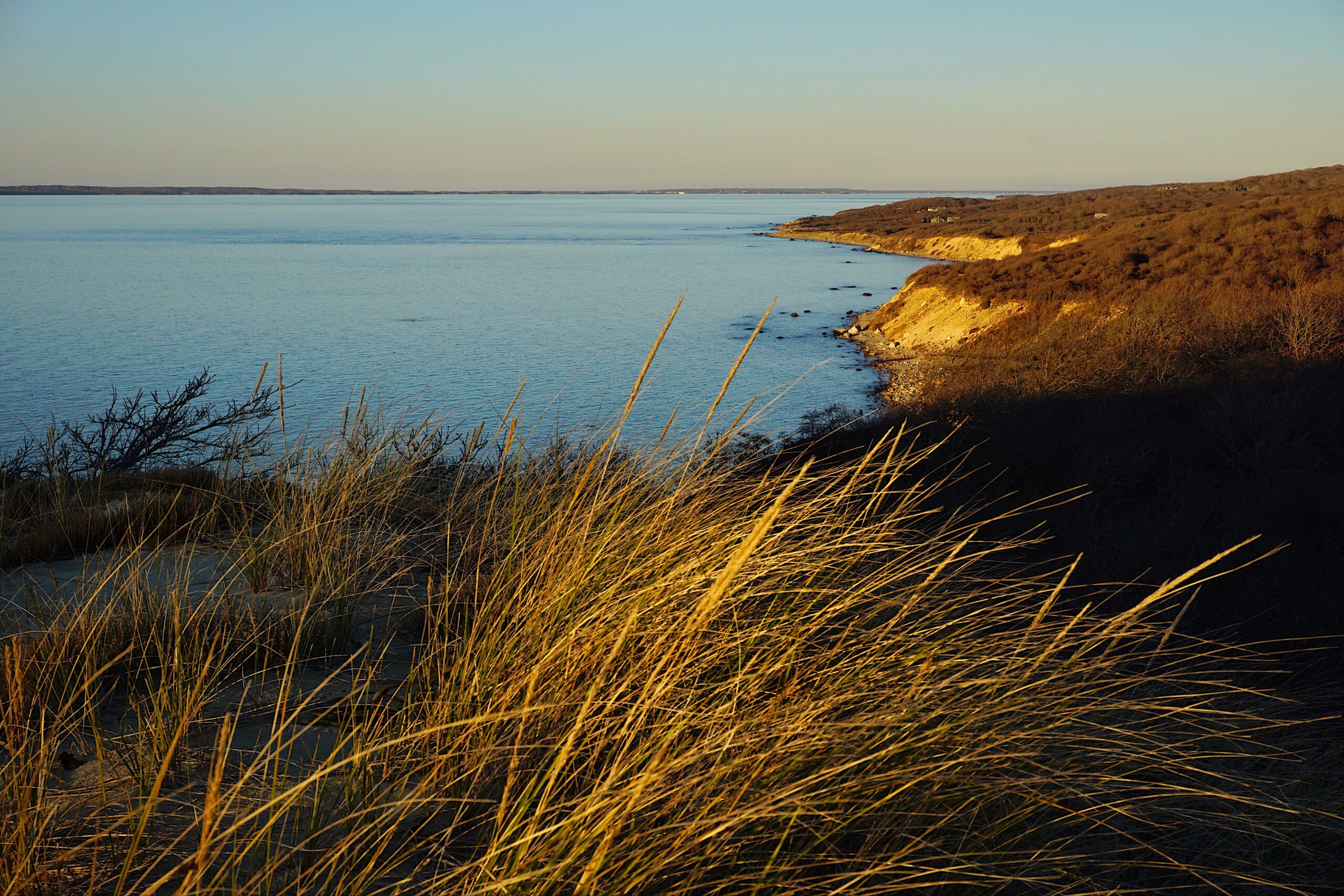
View of Cape Poge from Dike Br...
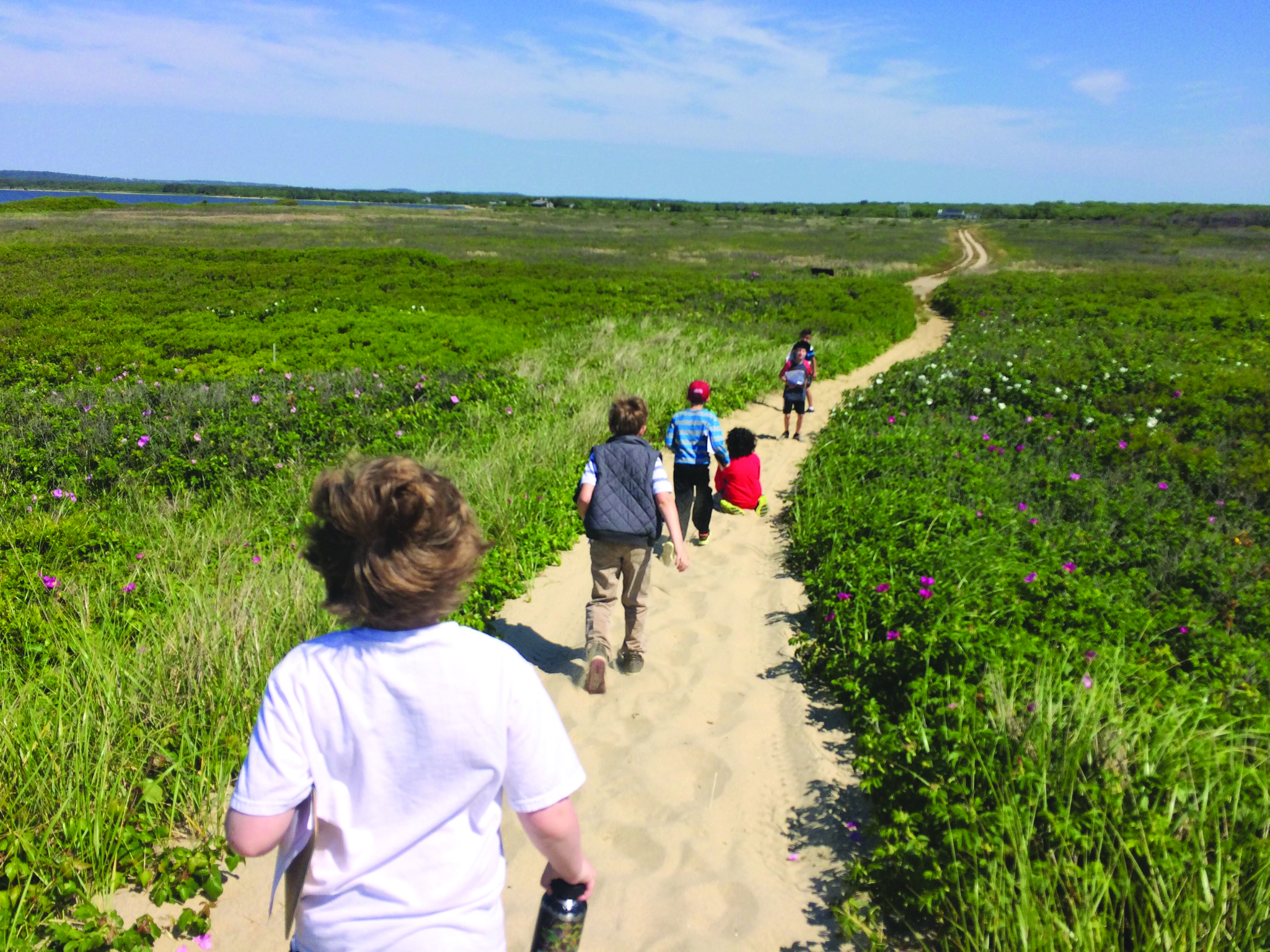
Explore this magnificent barrier beach with its sandy shoreline, expansive salt marsh, beautiful salt pond, and unique colony of hardy red cedars.
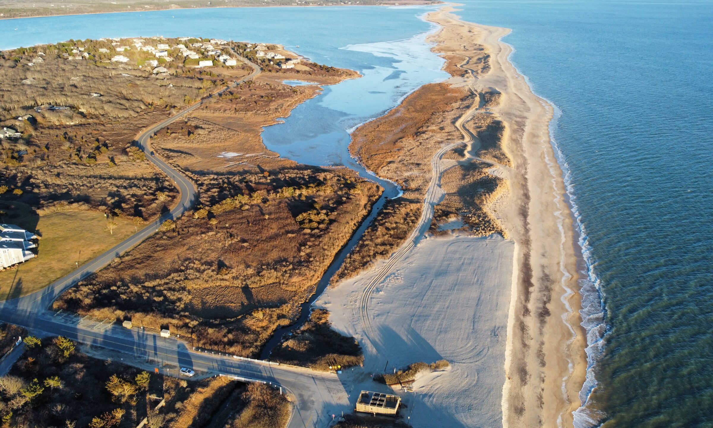
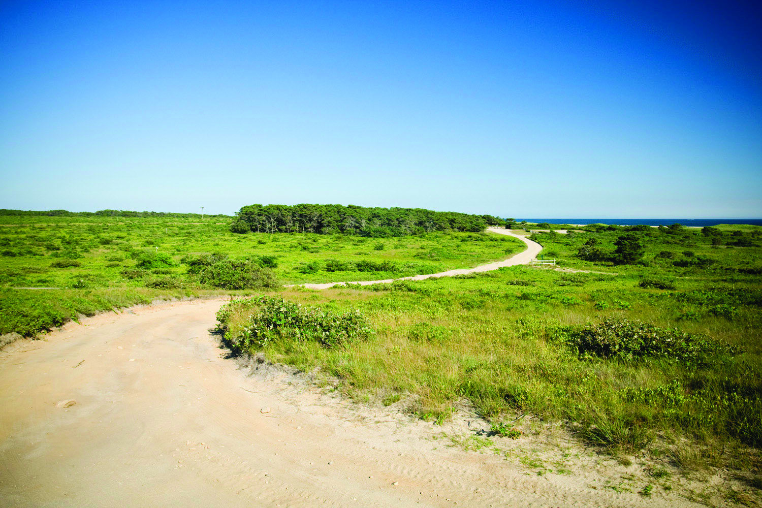
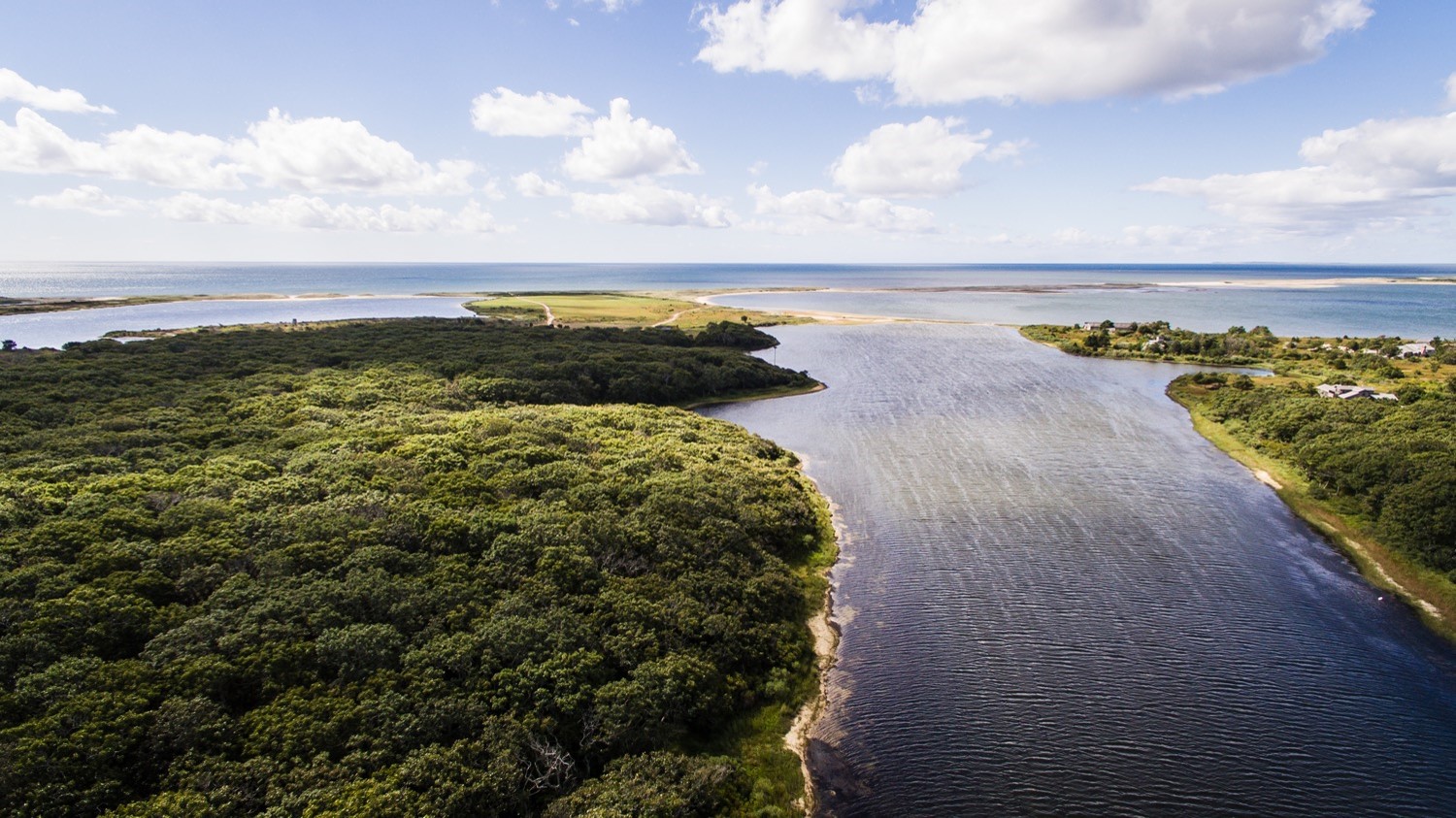
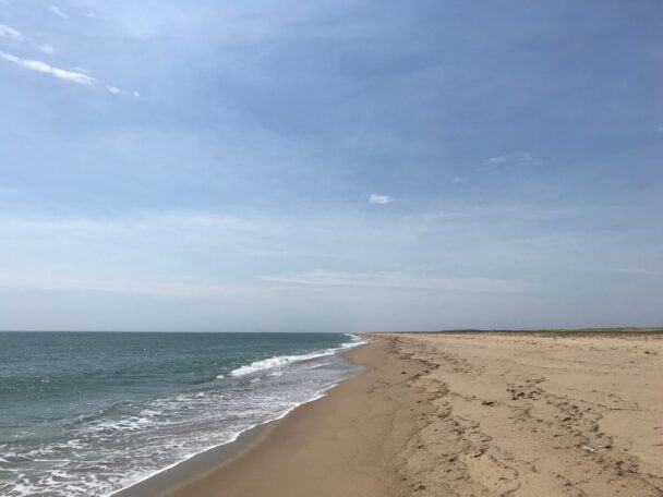
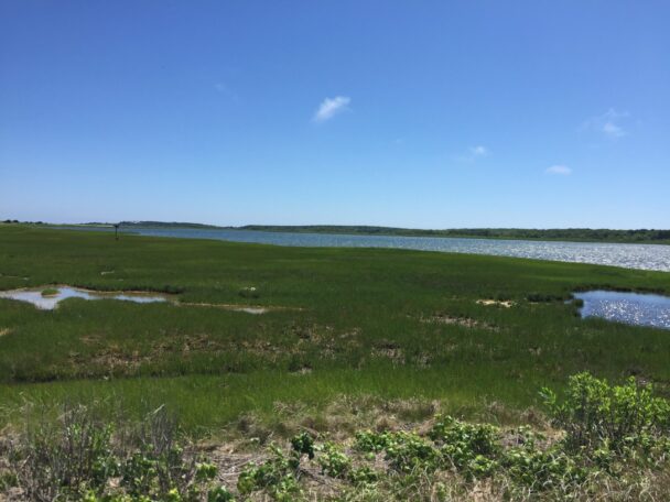
Formed thousands of years ago by offshore currents, the barrier beach on Chappaquiddick Island’s eastern edge extends for seven miles from Wasque Point past the Cape Poge Lighthouse to the Gut. Powerful currents push through and flush Cape Poge Bay with oxygen-rich water that attracts Striped Bass, Bluefish, Bonito, and Albacore, while tidal waters support extensive salt marshes around Poucha Pond. The Cedars is a grove of century-old, low-growing Eastern Red Cedars sculpted by salt spray and wind. Cape Poge Elbow is home to a gull rookery and nests of Piping Plovers, Least Terns, and American Oystercatchers.
Leland Beach, also known as East Beach links Wasque Reservation and the Cape Poge Wildlife Refuge. The property surrounds over 100 acres and a half mile of prime beachfront. The Trustees manages the area for the Division of Marine Fisheries (DMF), who got the property in 1993. Fishing access is preserved through this collaboration, allowing access to the legendary Wasque Point surf-fishing waters. Bluefish and striped bass are common targets among recreational fishermen.
Explore Cape Poge’s diverse upland and marine habitats, world-renowned fishing spots, or amble along an easily accessible two-mile walk at Wasque Beach Uplands.
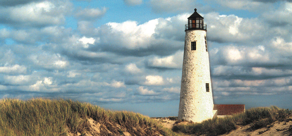
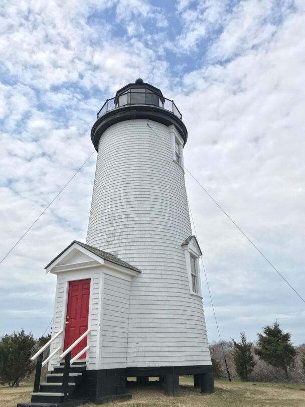
Purchase an oversand vehicle permit and explore Cape Poge’s diverse upland, marine habitats, delicate beach ecosystem and a lighthouse with origins dating to 1801, that used to guide ships through the shoal waters and shallows of Muskeget Channel into Edgartown Harbor.
Things To Do
When To Visit
Daily, 24 hours (10PM to 5AM fishing access only). Allow a minimum of two hours on foot, longer if in over-sand vehicle.
Admission
FREE to pedestrians; permits required for over-sand vehicles. Learn more about OSV permits and buy a permit.
Mytoi Gatehouse Hours: 9AM – 5PM, Memorial Day – Indigenous People’s Day.
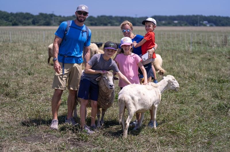
We welcome school and youth groups for experiential educational programs. Please visit our Education Page for details and to initiate a visit request.
Dike Road, Chappaquiddick Island
Martha’s Vineyard, MA 02539
From Edgartown-Chappaquiddick ferry, take Chappaquiddick Road 2.5 mi. At sharp right curve, continue straight on Dike Road (dirt road) and follow 0.5 mi. to entrance and gatehouse over Dike Bridge. Town parking area (20 cars) on town side of bridge. Additional parking (15 cars) at Mytoi on left side of Dike Rd. 0.2 mi. before reaching bridge.
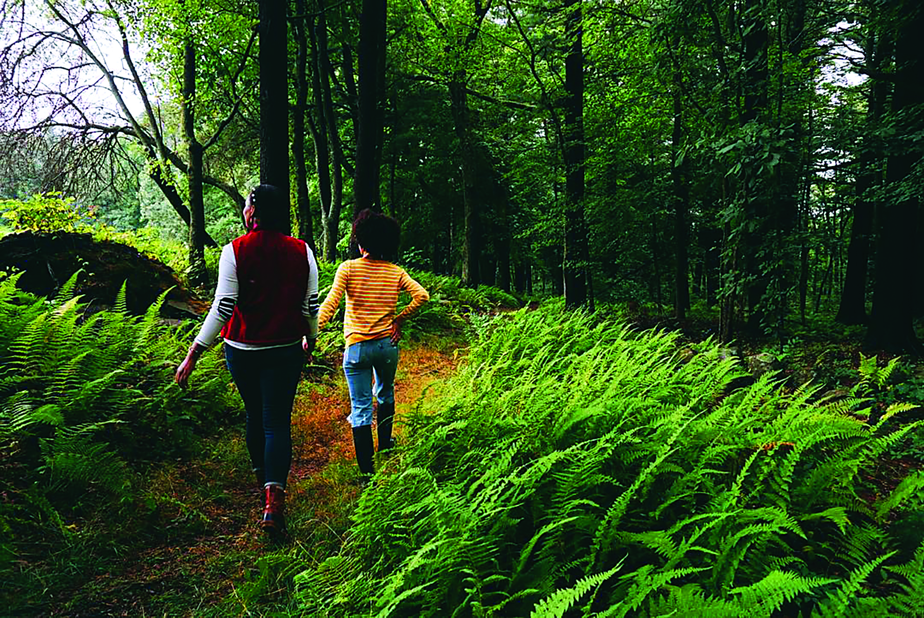
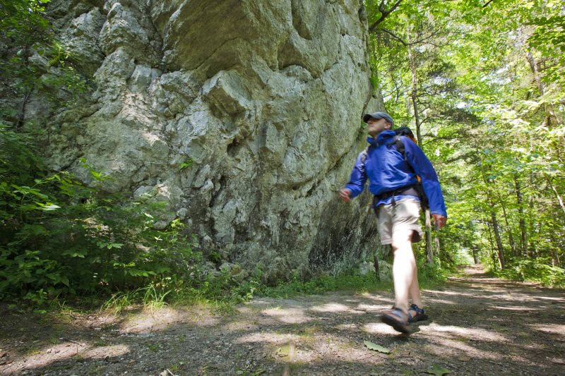
Trails
Advanced hiking over very soft sand along 10 miles of oversand vehicle and walking trails, plus beach front.
Swimming Beach
Park at Mytoi and walk to our pedestrian-only beach.
OSV Beach
Purchase an oversand vehicle permit to access several miles of beach.
Shining Light
At the northernmost tip of the sand barrier stands the Cape Poge Lighthouse. First erected in 1801, the lighthouse helped guide ships through the shoalwaters and shallows of Muskeget Channel, and into Edgartown Harbor. Storms and erosion felled the beacon twice; the lighthouse was rebuilt in 1844 and again in 1893 and this latter incarnation still stands. The Cape Poge light flashes a brilliant white 63 feet above the sand dunes and can be seen by sailors nine miles out to sea. The U.S. Coast Guard maintains the Cape Poge Lighthouse.
What You’ll Find
Facilities
Accessibility
Download a property map before you visit.
With eight Trustees properties to discover on the island, there is something for everyone. Experience unique coastal landscapes, and begin creating treasured memories today.
Original acreage a gift, with endowment, of Charles S. Bird and Oliver D. Filley in 1959. Additional land purchased in 1972, 1975, 1977, and 1995; and in 1970, 1971, and 1976 with funds given by Mrs. Seth Wakeman. Additional land given by Mr. and Mrs. Richard M. Parmenter in 1964; Doris H. Chouinard in 1965; Dr. and Mrs. Edward B. Self in 1978 and 1984; Dr. and Mrs. Joseph Murray in 1983; and Philip B. Norton in 1986. Additional lands purchased in 1995 from Donald Greenstein.
The Trustees of Reservations tour of outer Chappaquiddick was excellent. You go over-sand in some of the remotest parts of the Islands. Fantastic views of Cape Poge Bay and Nantucket Sound. Great lighthouse stop.
– JackMV, Trip Advisor