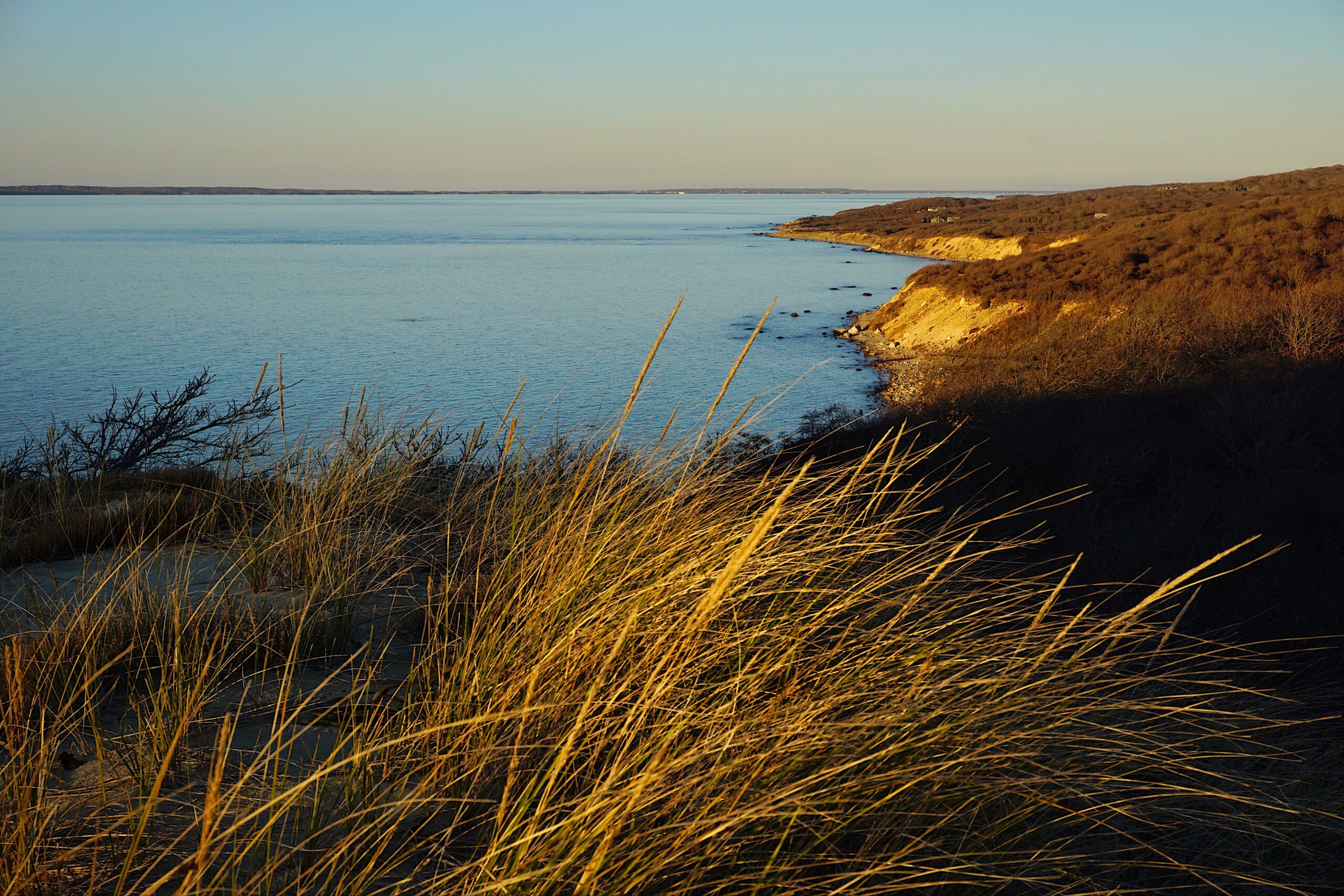
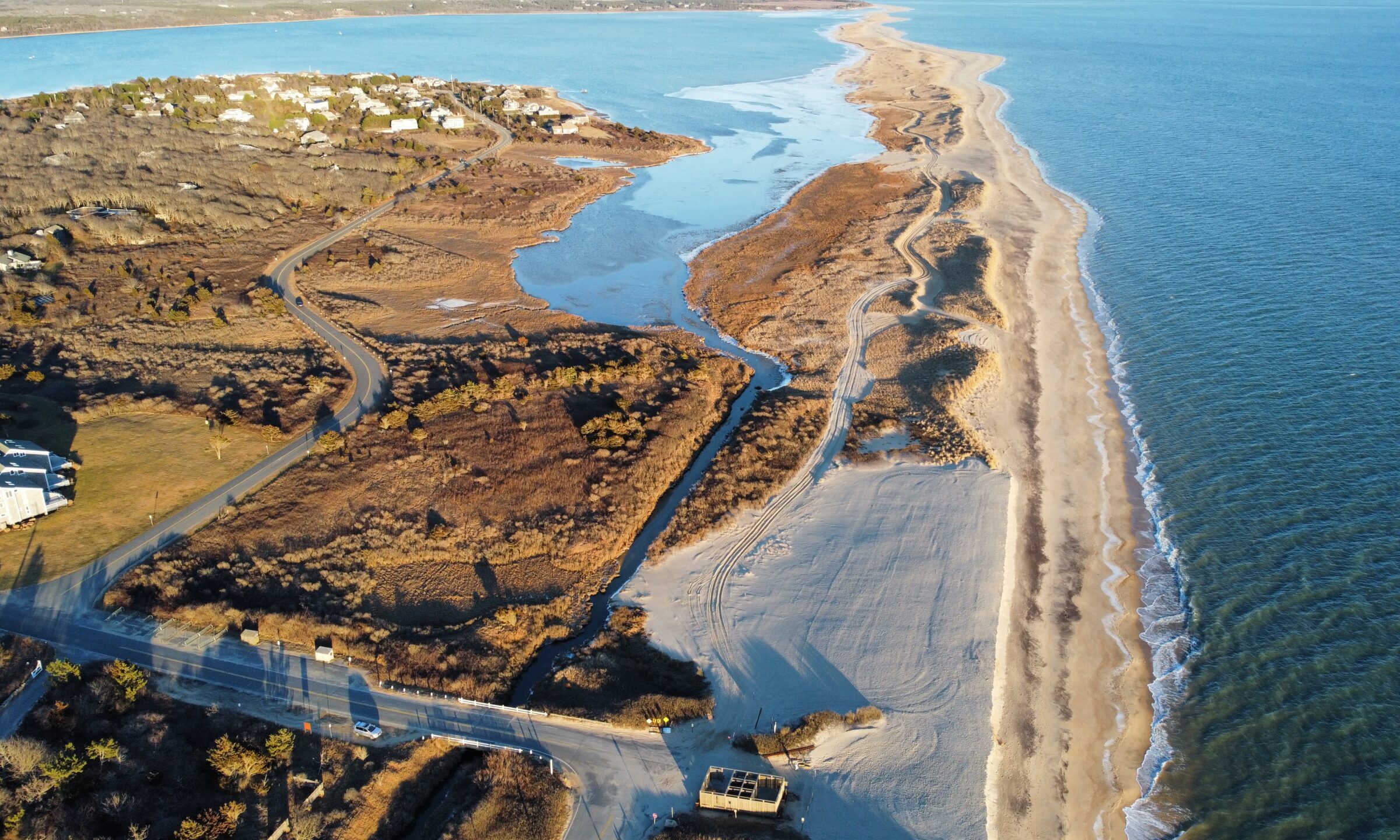
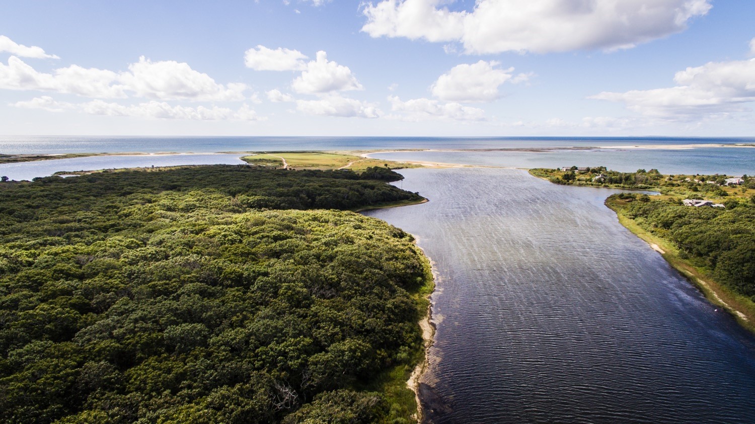
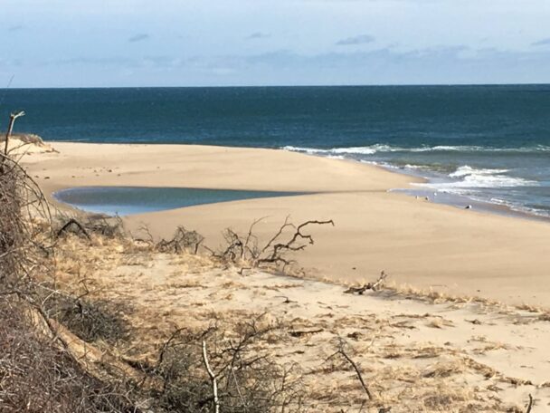
This southeastern corner of Martha’s Vineyard is in a constant state of flux, as storms and sea level rise reshape this coastline on a daily basis.
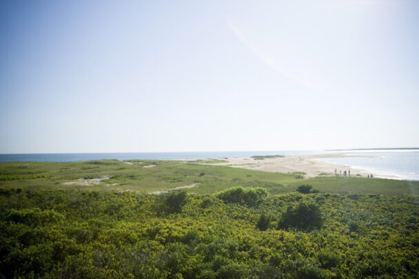
Wasque (“WAY-squee”) is a must-see coastal experience on the Vineyard. A playground for swimmers, walkers, and fishermen for generations, island visitors and residents alike have fond memories of sweeping white sand beaches and the peaceful feeling of a land stopped in time. An important habitat for shorebirds like Piping Plovers, terns, and American Oystercatchers, Wasque is a land of change. The seismic shifts to our coastline caused by sea level rise and increased frequency and ferocity of storms is no more apparent than at this vulnerable property. A spectacular landscape for nature lovers of all stripes, Wasque’s fascinating ecology and shifting sands ensure that no two visits will be the same.
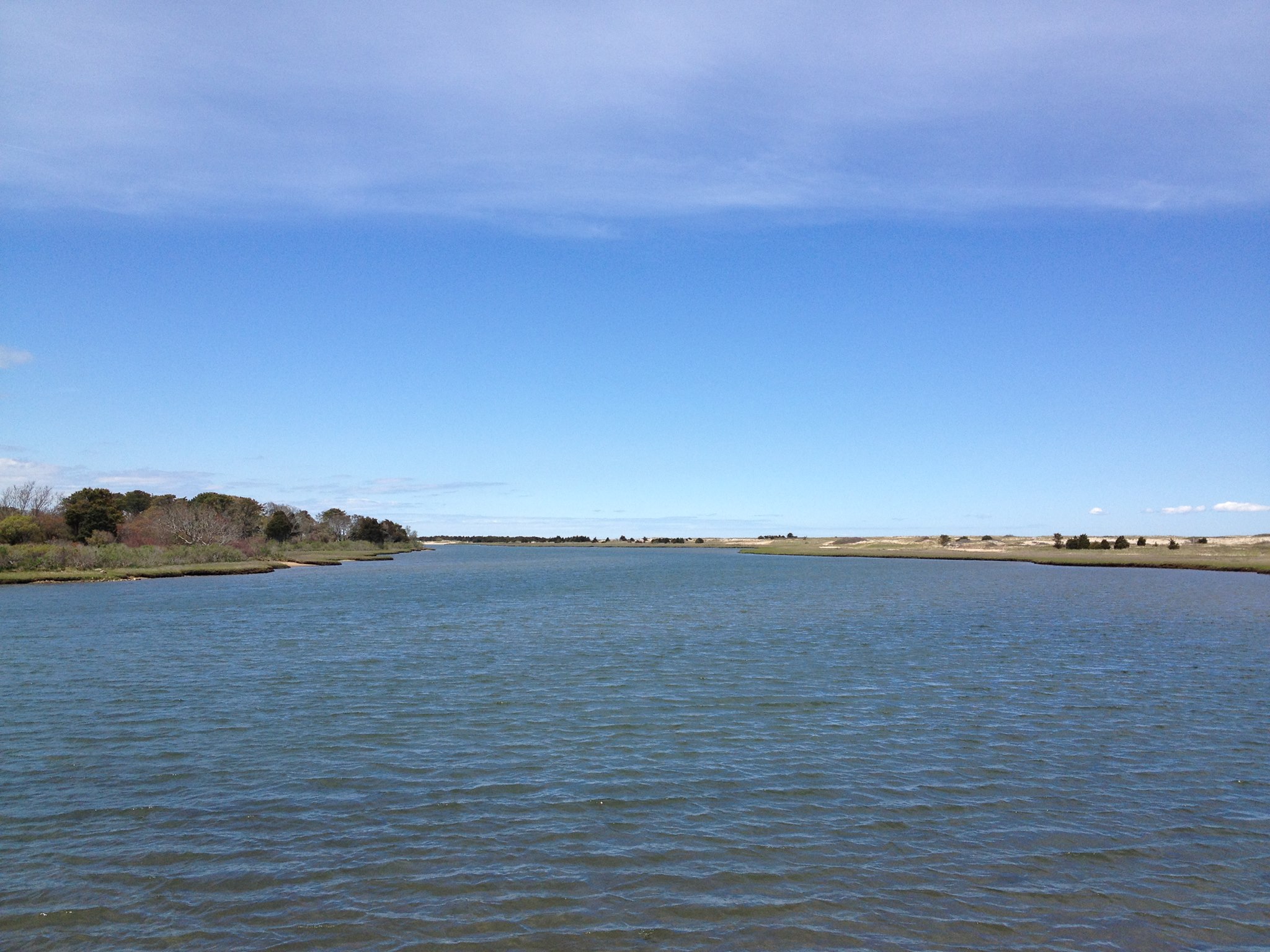
Leland Beach, also known as East Beach links Wasque Reservation and the Cape Poge Wildlife Refuge. The property surrounds over 100 acres and a half mile of prime beachfront. The Trustees manages the area for the Division of Marine Fisheries (DMF), who got the property in 1993. Fishing access is preserved through this collaboration, allowing access to the legendary Wasque Point surf-fishing waters. Bluefish and striped bass are common targets among recreational fishermen.
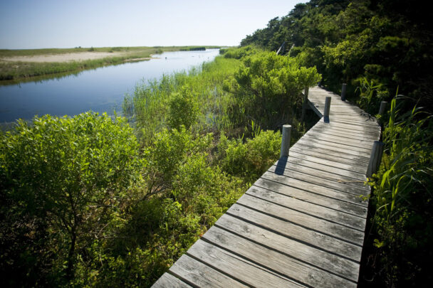
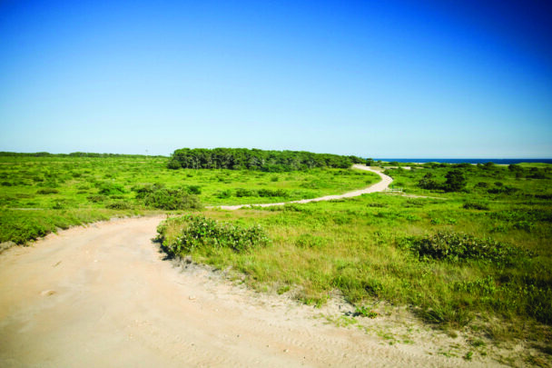
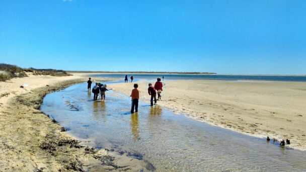
Explore a habitat of rare sand barrens along half a mile of trails. Bring binoculars to zoom in on sandpipers, piping plovers, terns, and other shorebirds at the surf line. Glimpse monarch butterflies as they feed on the flowers of the Northern Blazing Star before migrating south.
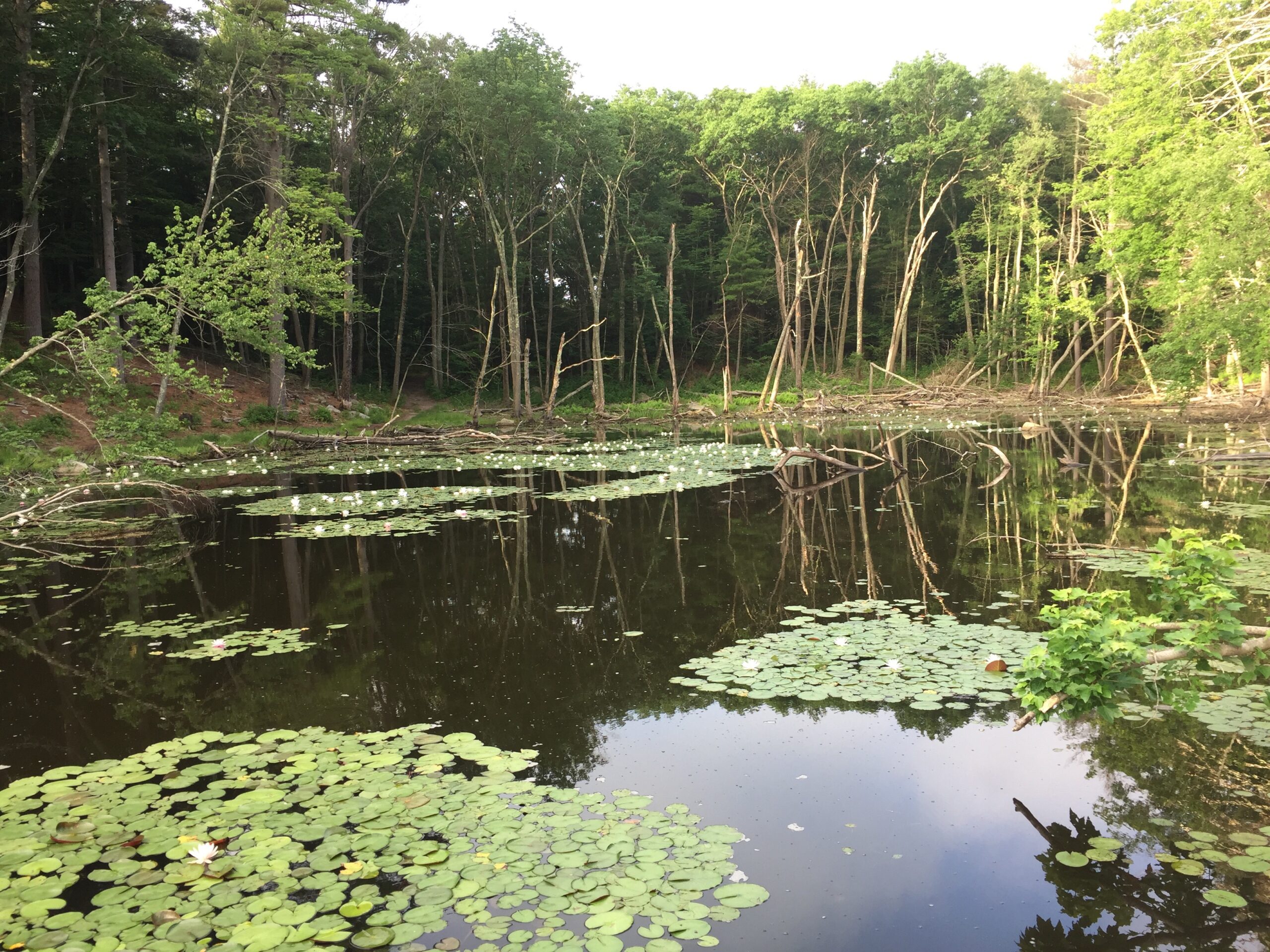
Nature watchers can sit back and observe many bird species, including sandpipers, piping plovers, terns and other shorebirds at the surf line, and ospreys hovering over the water’s surface, preparing to dive onto a fish. Poucha Pond contains marshes that offer habitat for great blue herons, egrets, migrating shorebirds, and ducks.
Children can look for monarch butterflies as they feed on the flowers of the Northern Blazing Star before migrating south, while parents and caregivers scan for less dramatic appearing butterflies and moths such as mourning cloaks, sulphurs, and red admirals, which appear annually. Saltwater anglers find Wasque a fine destination for striped bass and bluefish.
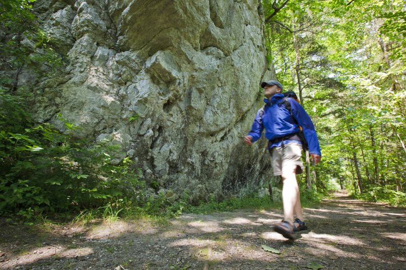
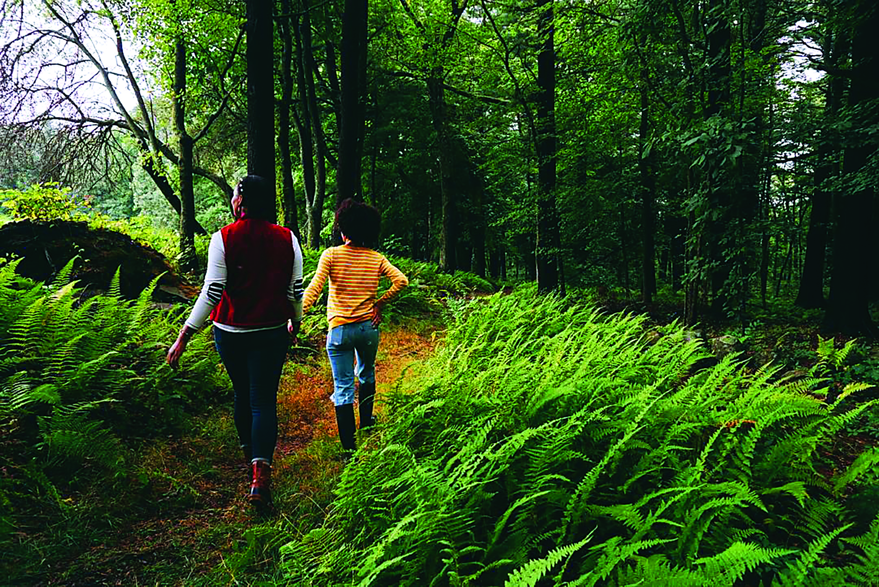
Things To Do
When To Visit
Daily, 24 hours.
Admission
Memorial Day Weekend-Indigenous People’s Day Weekend: Parking discounted for Members.
Nonmembers: $25
Trustees Household Membership: $15
Trustees Contributing Membership or higher: Free
Pedestrians and Bikers FREE.
Permit required for over-sand vehicles.
PassesNew: Free Day Parking Pass for Wasque with your library card at Edgartown, Vineyard Haven, West Tisbury, and Chilmark libraries.
Please note: The Cape Poge & Wasque OSV permit and “All Over” OSV permit provide free parking at Wasque.
We welcome school and youth groups for experiential educational programs. Please visit our Education Page for details and to initiate a visit request.
Wasque Road, Chappaquiddick Island
Martha’s Vineyard, MA 02539
Get directions from Google Maps.
From Edgartown–Chappaquiddick ferry, take Chappaquiddick Rd. 2.5 mi. At sharp right curve in road, bear right onto School Rd. and follow for 0.8 mi. At second sharp curve in road, bear left onto Wasque Rd. (turns into a dirt road) and follow for 1.2 mi. to entrance and parking (90 cars) at end.
What You’ll Find
Facilities
Accessibility
Please download a property map before heading out.
Regulations
Native Americans camped at Wasque (from “wannasque,” an Algonquin word meaning “the ending”) during the warmer months of the year. Settlement by colonists from Europe did not arrive on this part of Chappaquiddick until at least 1750. Land speculation in the late 19th century resulted in several large, upscale development proposals that never came to be.
One proposal, dubbed “Chappaquiddick-by-the-Sea,” included 750, quarter-acre plots laid out in a grid system and set along imagined streets and broad avenues with parks and clubhouses and docking facilities for yachts. In the end, only a handful of homes were built in the area before the reservation was established.
The Trustees purchased this property in 1967.
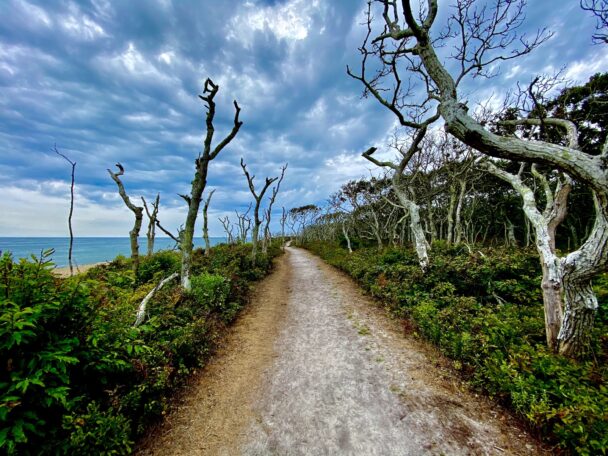
What a beautiful sight to see. From the unusual leaveless trees to the undulating dunes and natural soft sand coast, it is a paradise in New England.
– Nicholaus L., Tripadvisor