Photo Credit: T. Reichard
Trace the western shoreline of a sparkling lake or enjoy a woodsy ascent to scenic views of the Merrimack Valley.
Trace the western shoreline of a Lake Cochichewick or enjoy an ascent through rare barrens habitat to scenic views of the Merrimack Valley.
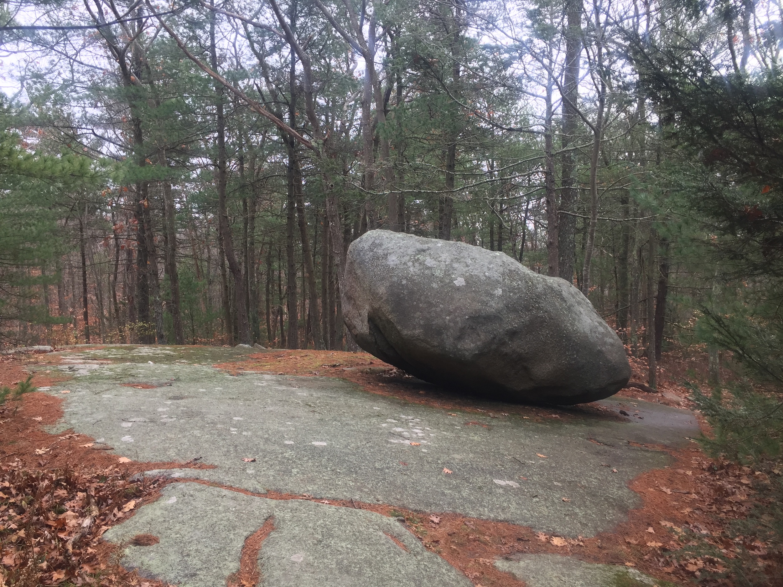
The rewards of Weir Hill—pronounced “wire hill”—include a shimmering lake shoreline, an expansive panorama of the Merrimack Valley, and the diversity of ten different types of plant communities. Generations of agricultural use, a history of fire, and cutting and mowing regimes have created a patchwork landscape of a 60-acre oak-hickory forest to hillside seeps, intermittent streams, wet meadows, and other plant communities. Several threatened state-listed and watch-listed species—including violet bush clover (Lespedeza violacea), and butternut trees (Juglans nigra)—are subtle signs of Weir Hill’s past that reveal themselves along the way.
Learn more about our barrens habitat management at Weir Hill.
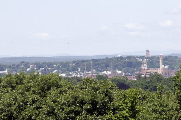
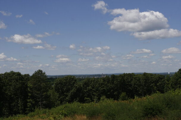
Weir Hill, Osgood Hill, and the two-mile-long Lake Cochichewick are scenic, prominent features in the northeast part of North Andover. Great Pond Road was laid out on the east shore to take advantage of the views across the lake as well as the hills rising just beyond. Regional trail connections allow visitors to extend their trip with access to destinations north, west, and south of Weir Hill.
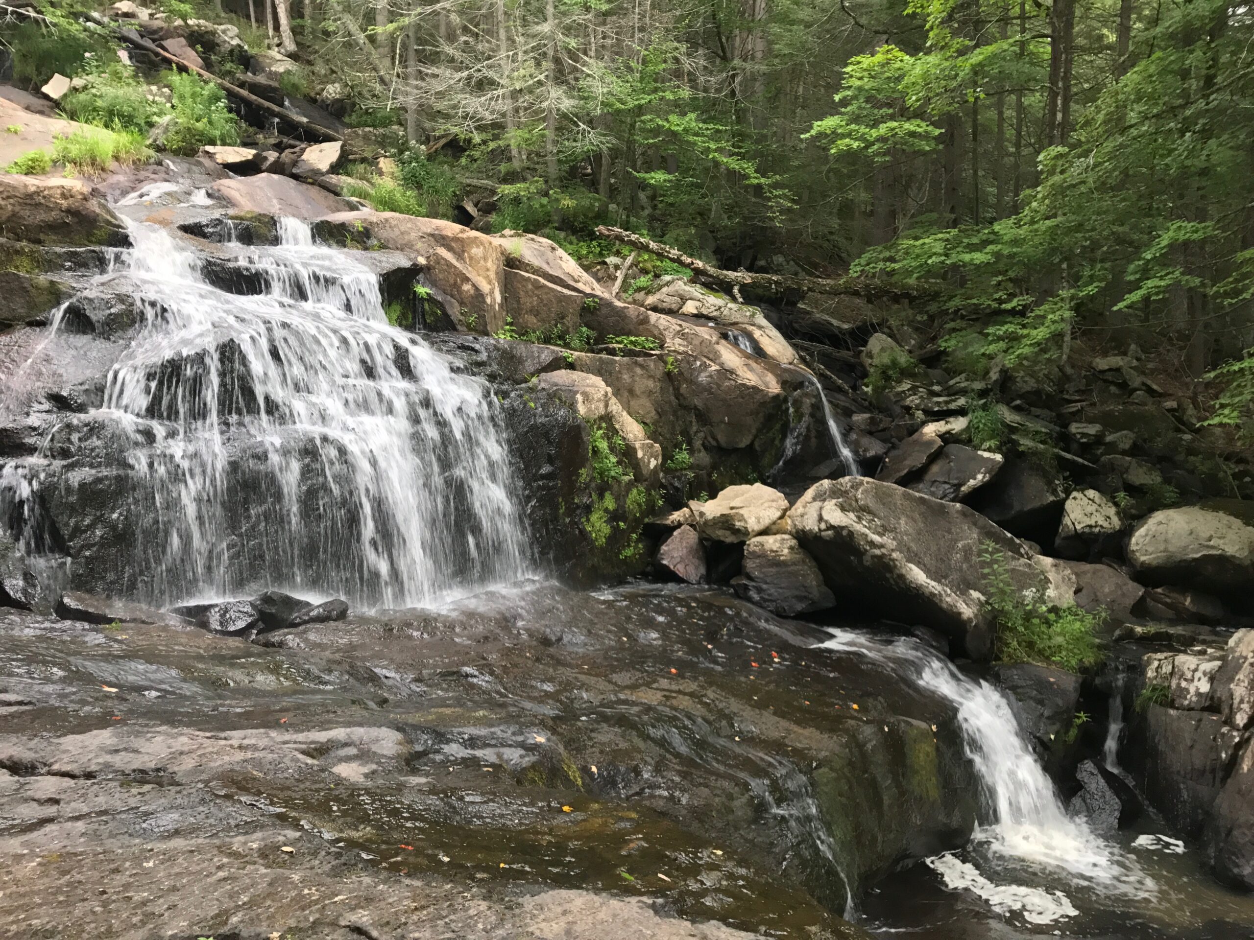
Follow the Edgewood Farm Trail to reach the meandering shore of Lake Cochichewick, which dominates the east and south edges of this reservation and provides memorable water-level views. Continue south on the yellow blazed Cochichewick, Alewife, and Stevens Trails to access the Pleasant Street parking area, Stevens Beach, and the Stevens to Stevens Trail or complete a full loop of the property to return to the Stevens Street parking lot.
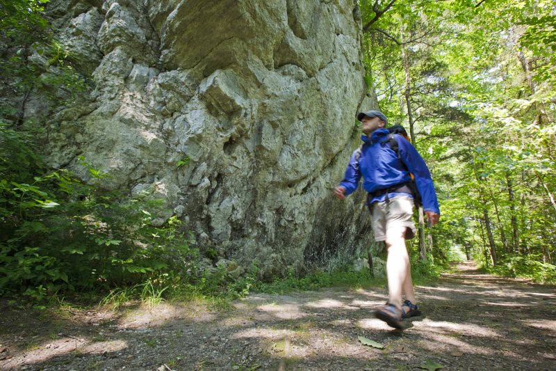
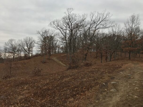
Those seeking a more rigorous hike can follow the Weir Hill Trail (blue blazes) or Scrub Oak Trail (red blazes) to experience rare barrens habitat and enjoy hill top views of Lake Cochichewick and Mount Wachusett and Mount Monadnock to the west.
The Mills to Hills Trail leads west of Stevens Street, allowing access through wet meadows to reach Osgood Street. Beyond this point walkers can continue on this trail to reach the historic mills and downtown North Andover.
Build extra time into your visit and explore the Stevens to Stevens Trail, connecting Stevens-Coolidge House & Gardens to Weir Hill, and intersecting other conversation land and Stevens family land.
Property is open daily from dawn to dusk.
Free to all visitors.
65 Stevens Street
North Andover, MA 01845
Get directions on Google Maps.
From I-93 Exit 35, take Route 125 N 7.3 miles, merge left onto Route 114 W, and then take right to continue onto Route 125N. Follow for 0.2 miles and bear right onto Andover Street. Continue for 0.6 miles to rotary, take second exit to continue on Stevens Street. Proceed straight for 0.1 mi., turn left to continue on Stevens Street and continue for 0.8 miles to parking on right.
From I-495 Exit 101, take Massachusetts Avenue E towards North Andover. Follow Massachusetts Avenue to rotary, then take third exit to Stevens Street. Proceed straight for 0.1 mi., turn left to continue on Stevens Street and continue for 0.8 miles to parking on right.
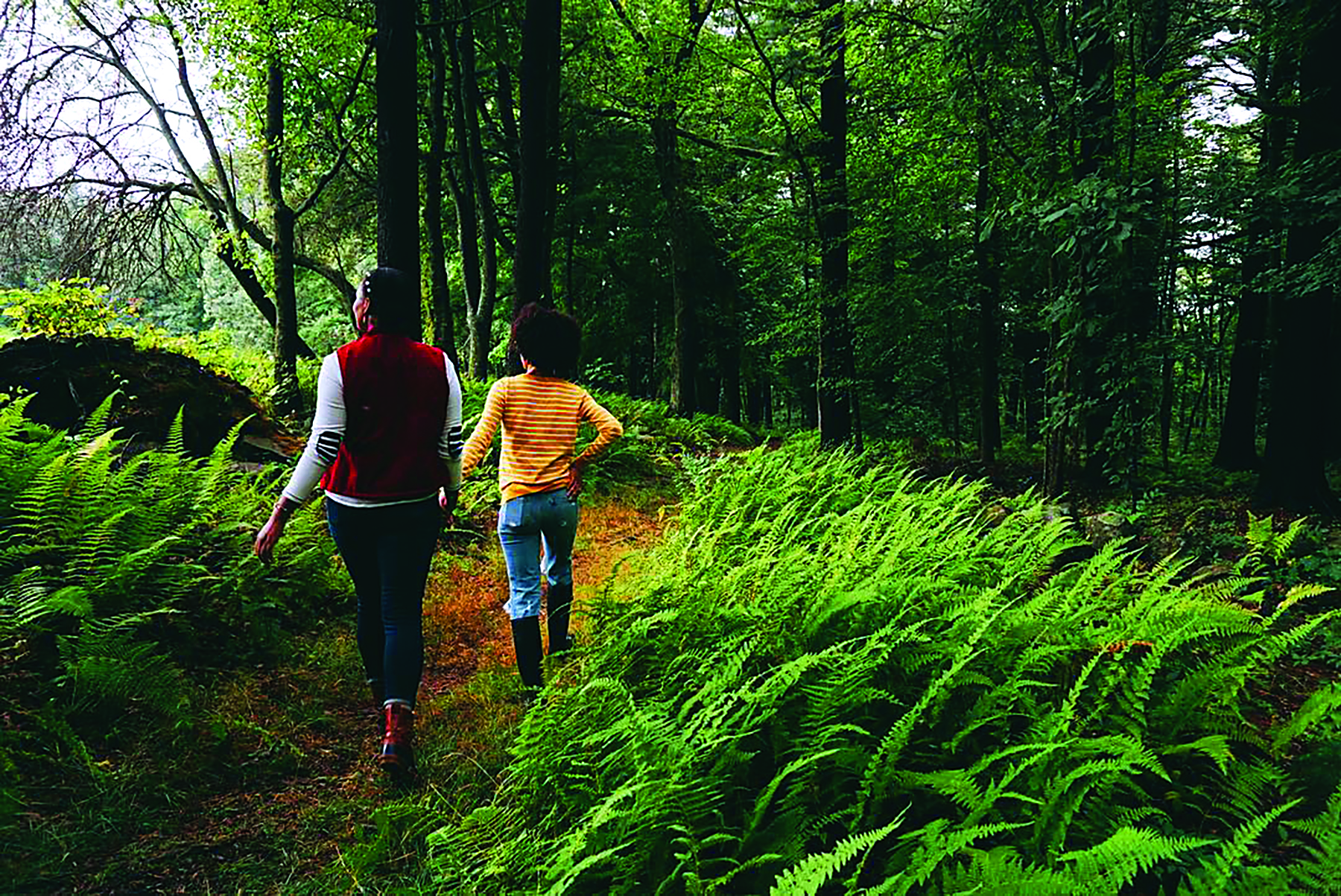
Four miles of trails, easy to moderate hiking, strenuous in places.
Build extra time into your visit and explore the Stevens to Stevens Trail, connecting Stevens-Coolidge House & Gardens to Weir Hill, and intersecting other conversation land and Stevens family land.
Entry kiosks at Stevens Street and Pleasant Street include a map of the property. We recommend that you take a photo of the map on your phone so you can refer to it during your visit. Additionally, map stations are located at intersections throughout the property for reference and wayfinding.
Use this link to download a trail map before you head out.
Prior to settlement, Weir Hill was the site of Pennacook activity. A 1968 archaeology survey identified a campsite at the southeast end of the reservation.
For the past 100 years, Lake Cochichewick has provided North Andover’s main supply of drinking water (Swimming, wading, and dog access are restricted. Canoe and kayaks permitted).
Original acreage a gift, with endowment, of the Estate of Abbot Stevens in 1968.
This is a jewel of a hiking trail nestled in north of Boston just off of I-495. As a resident of this area I frequent this hill whenever I want to enjoy the outdoors. Weir Hill surrounds a beautiful lake with crystal clear New England water. It offers steep climbing which can provide an excellent cardio exercise, or training for runners.
– Trip Advisor Reviewer, Andover, MA resident