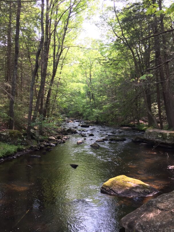
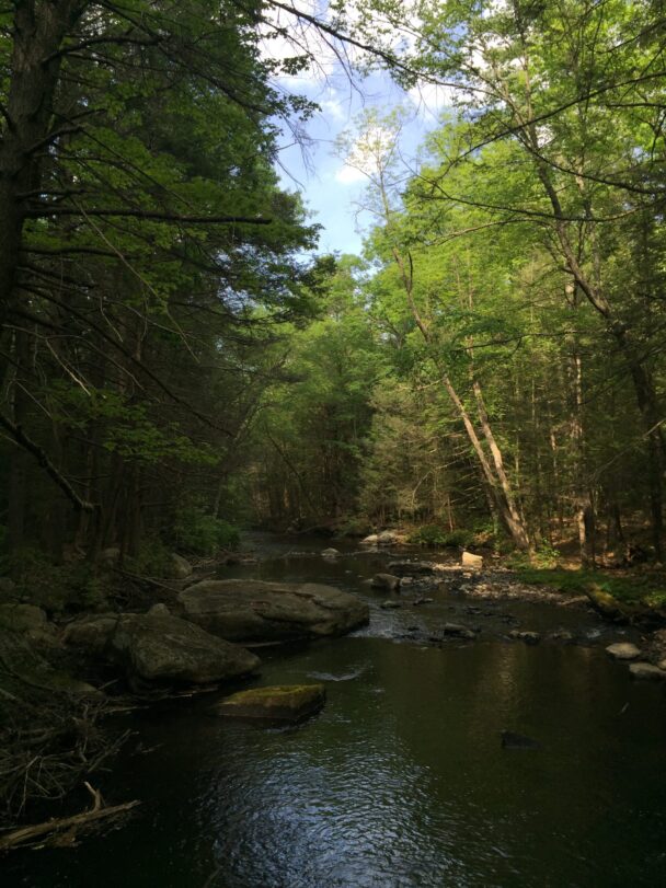
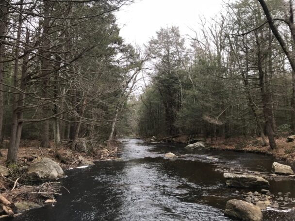
Trace the banks of the serene Quinebaug River—keeping a lookout for frogs and spotted salamanders—before ascending a wooded ridge.
Located next to the 575-acre Army Corps of Engineers Holland Pond Flood Control and Recreation Area and near the 518-acre Leadmine Wildlife Management Area, Quinebaug Woods is a valuable addition to the broader ecological landscape.
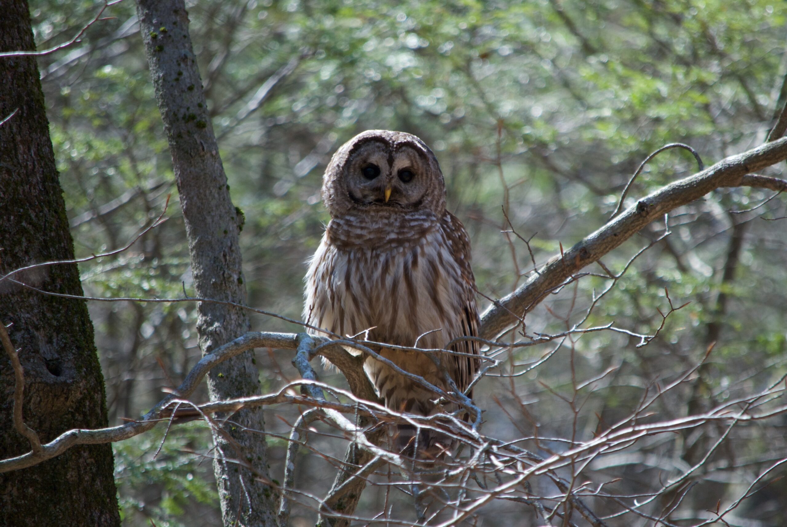
Near the ridgetop, a large, shaded vernal pool supports wood and pickerel frogs, American toads, and spotted salamanders. Along the banks of the Quinebaug River, beavers have taken down trees and constructed a lodge. Kingfishers and great blue herons hunt along the river’s banks and shallows, sunfish, and bass can be seen from the shore, and cardinal flowers bloom in late summer along the river’s edge.
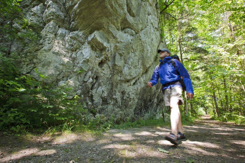
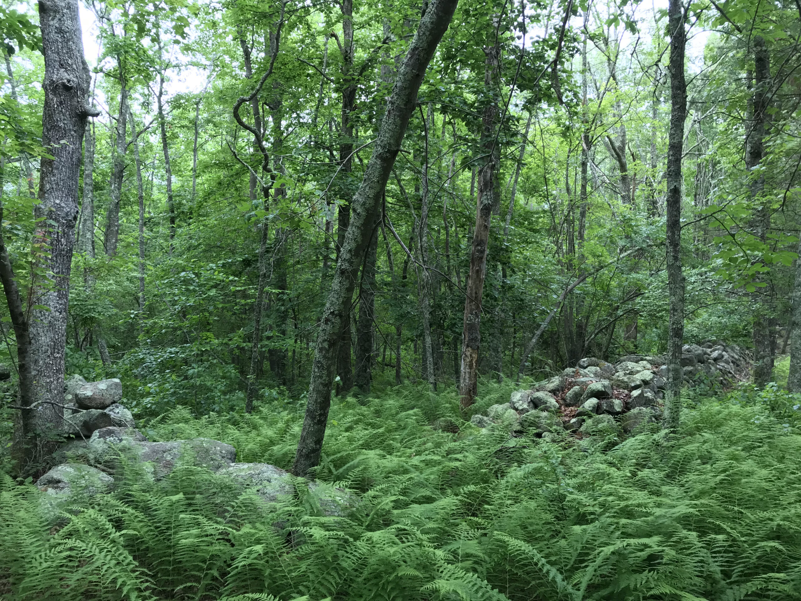
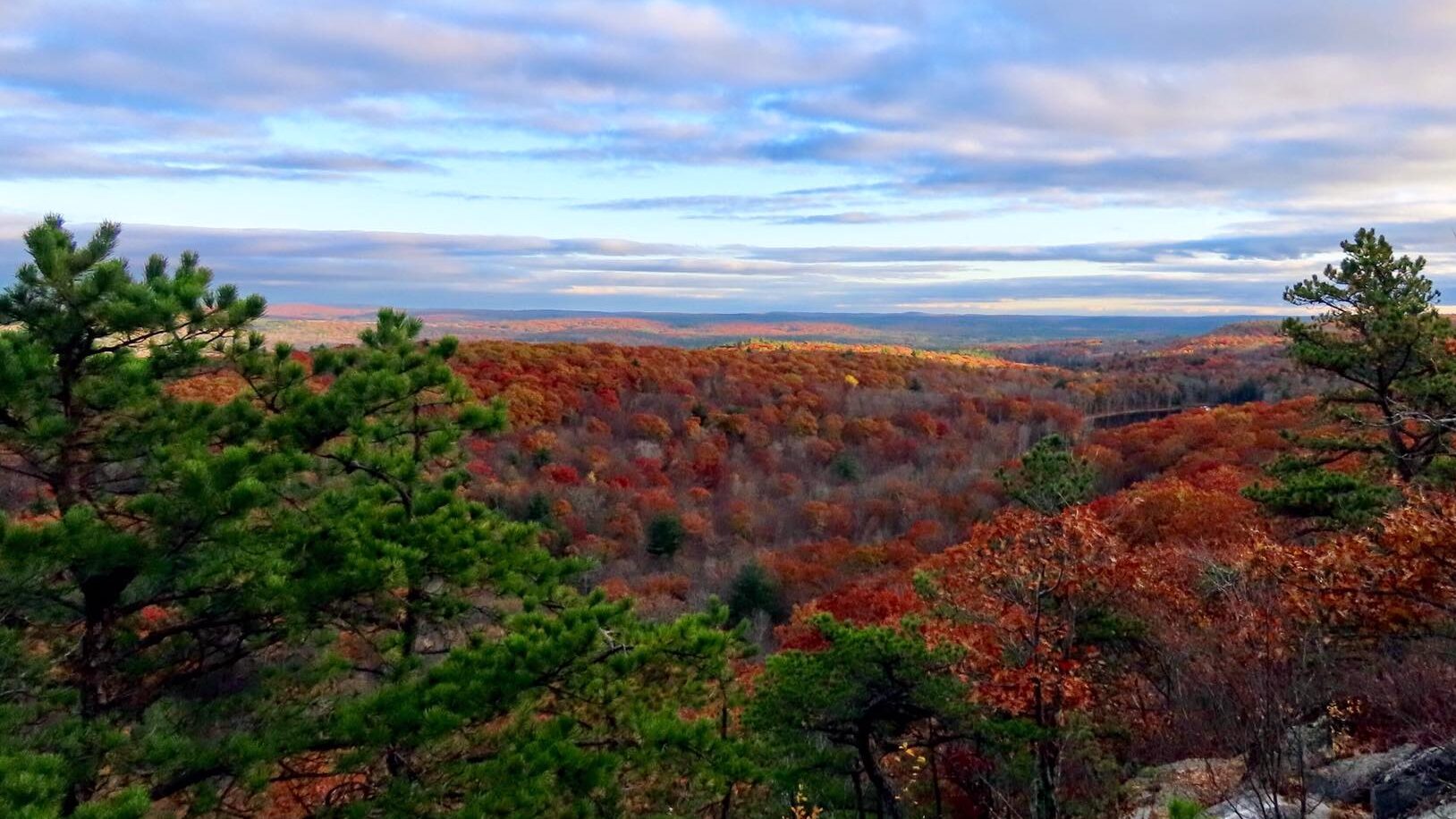
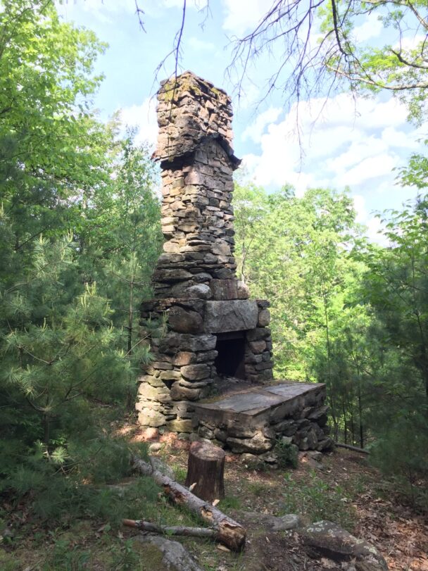
Trek the one-mile loop trail north along the Quinebaug River before turning west and heading up and over a “hogback”—an exposed, rocky ridge where oak, hickory, white ash, and white pine comprise the open canopy while dense stands of hemlock appear below. You’ll find a stone chimney and foundation steps, the last being the remains of a cabin built in 1932.
Dug Hill Road
Holland, MA 01521
Email: info@thetrustees.org
Get driving directions on Google Maps.
Directions
From the Mass Turnpike (I-90), take Exit 78 to I-84 South. Take Exit 3 to Rt. 20 West. At the intersection with Rt. 148, turn left onto Holland Rd. Follow Holland Rd into Holland, where it becomes Sturbridge Rd. Look for the dam at the Hamilton Reservoir on your left. Immediately after passing the dam, turn right onto Dug Hill Rd. The entrance and parking (3 cars) is on the right.
We recommend that you take a photo of the map on your phone so you can refer to it during your visit, or download a trail map before you visit.
Property Acquisition History
Gift of Benjamin and Margaret Haller in 2001.
The trails are very well maintained and easy to follow the map (always best to print one out before heading to the reservation). We visited the old foundation which is impressive.
– Dave D, Trip Advisor