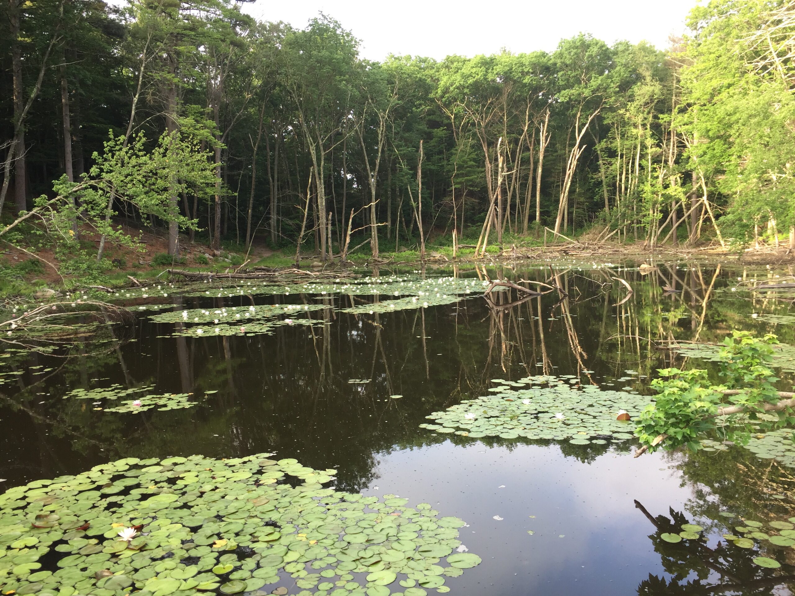
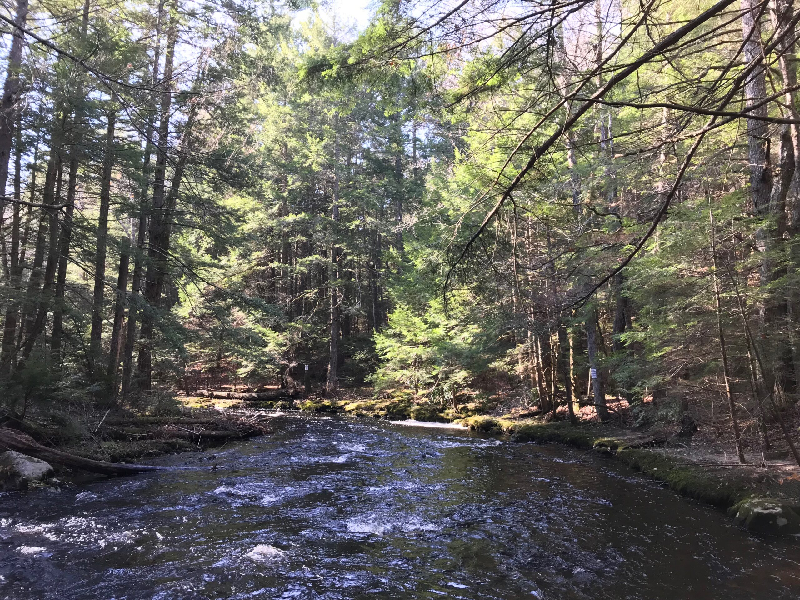
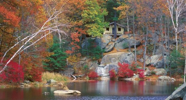
Discover a small, serene pond beyond a jumble of giant boulders forming a "house."
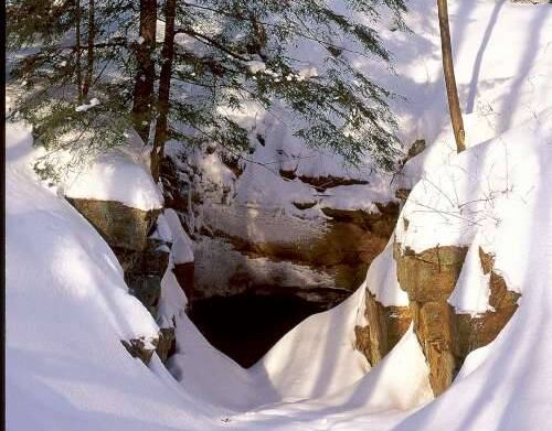
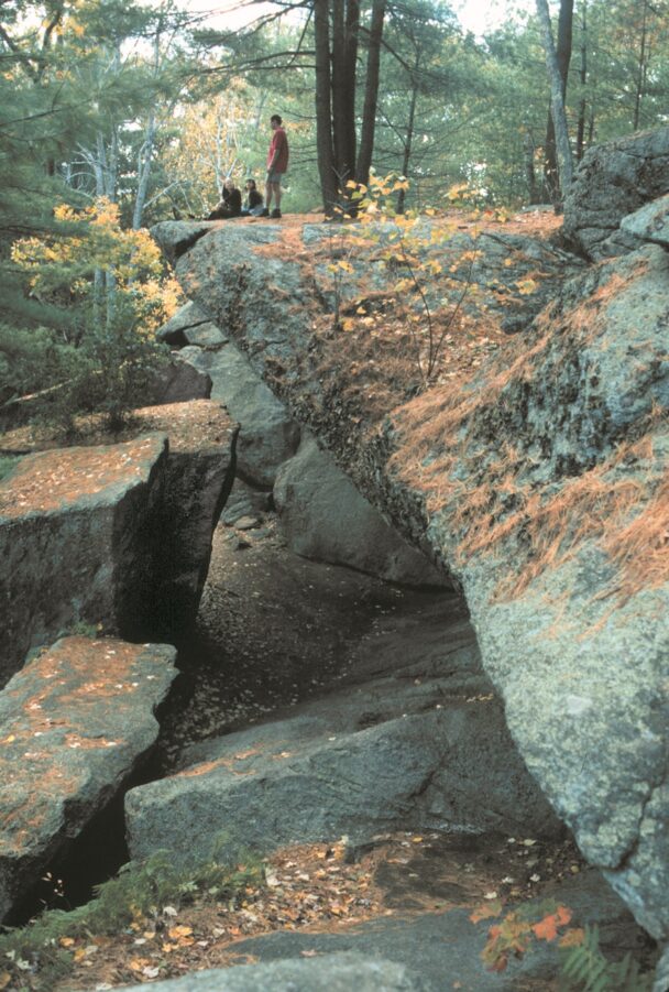
Cave-like rock formations and their surroundings offer an intriguing blend of geologic and human history. The centerpiece is the 20-to-30-foot-high rock enclosure that stands guard over man-made Carter Pond.
Rock House’s mammoth proportions and southern exposure made it a welcoming winter camp for Indigenous people. Later, colonists cleared the forests for farming in the mid-17th century before William Adams—whose family would tend the land for more than 125 years—purchased the surrounding pastures to add to his farm.
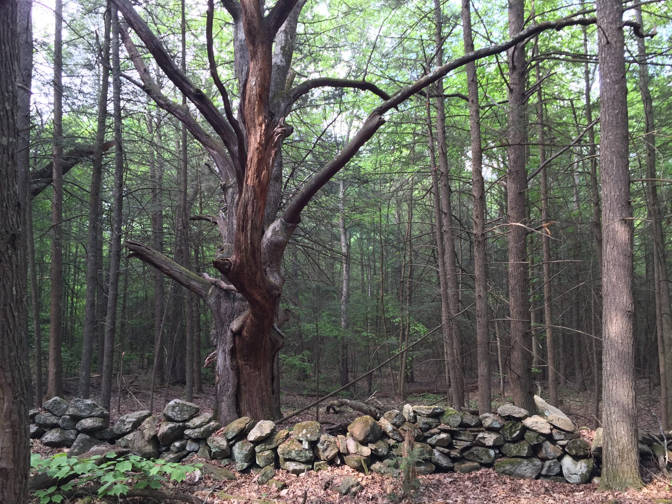
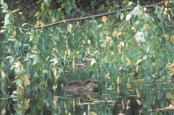
Discover the nooks and crannies of this 296-acre tract via three miles of trails and woods roads. The centerpiece is the 20-to-30-foot-high rock enclosure that stands guard over man-made Carter Pond. Along the way, savor the wildflowers, hardwood forests, and pine groves, and watch for a wide variety of animals, from wild turkeys to painted turtles. Look for a striking example of glacial erratics in Balance Rock, perched atop a large stone outcrop.
Follow the signs to visit the home site of Lucy Stone, a prominent speaker for the rights of women and abolitionist who helped organize the first National Women’s Rights Convention in 1850, on Coy Hill Road, about a mile to the east of the Rock House main parking lot. The site was recently named to the National Register of Historic Places.
** Please Note: During construction on Route 9, visitors are asked to park in the Pierce Road parking lot and stay off trails in the blast zone noted on this map.**
Route 9
West Brookfield, MA 01506
Email: info@thetrustees.org
Get directions on Google Maps.
Directions
From the Mass Turnpike (Exit 63), take Rt. 32 North toward Ware where it joins Rt. 9. Stay on combined Rt. 32/9. When the routes separate, follow Rt. 9 East for 1.1 mi. to entrance and parking (12 cars) on left.
Follow the signs down the road and visit the site of the birthplace of Lucy Stone, a prominent speaker for the rights of women and abolitionist who helped organize the first National Women’s Rights Convention in 1850. The site was recently named to the National Register of Historic Places.
We recommend that you take a photo of the map on your phone so you can refer to it during your visit, or download a trail map before you visit.
** Please Note: During construction on Route 9, visitors are asked to park in the Pierce Road parking lot and stay off trails in the blast zone noted on this map.**
Following the arrival of Colonists in the mid-17th century, the forests of West Brookfield were cleared for farming. In 1866, pastures around the Rock House were added to a 281-acre farm on Ragged Hill Road owned by William Adams. During the first two decades of the 20th century, the Rock House was a popular stop on the “Copper Line,” an electric trolley that ran between West Brookfield and Ware. Visitors came to picnic in the abandoned pastures and explore this historic Native American landmark.
Property Acquisition History
Anonymous gift, with endowment, in 1993 in memory of William Adams. Additional land purchased in 2002.
Easy roadside stop. Free. Easy for family and kids (no strollers). Not a serious hike, but well worth the time. The rocks are amazing.
– Bennie, Trip Advisor