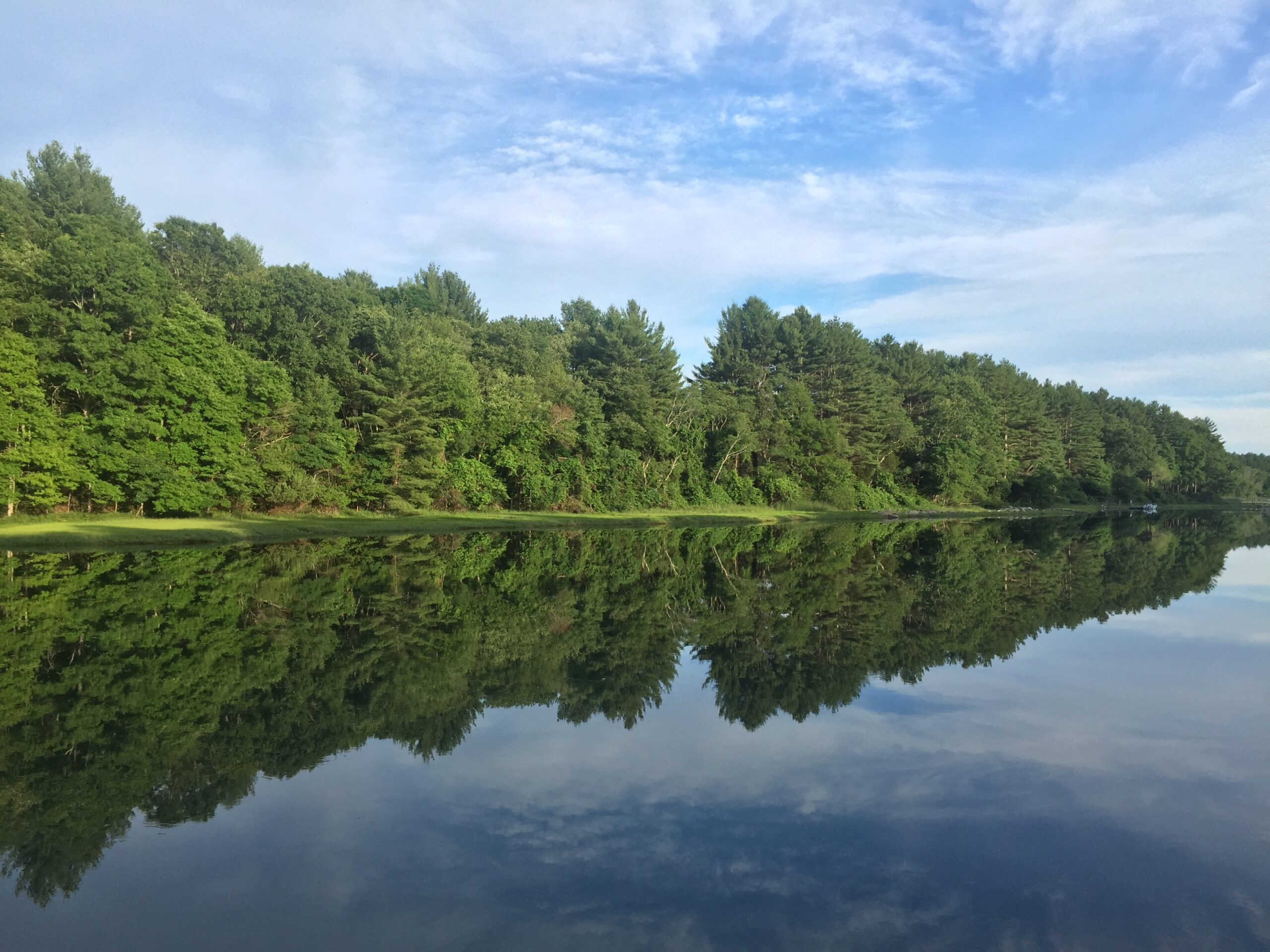
Photo: Peter Moratta
Step back in time to woodlands dotted with glacial erratics and vernal pools, featuring bridges over streams, carefully sited benches, a hermit’s shelter, and secluded holly grove.
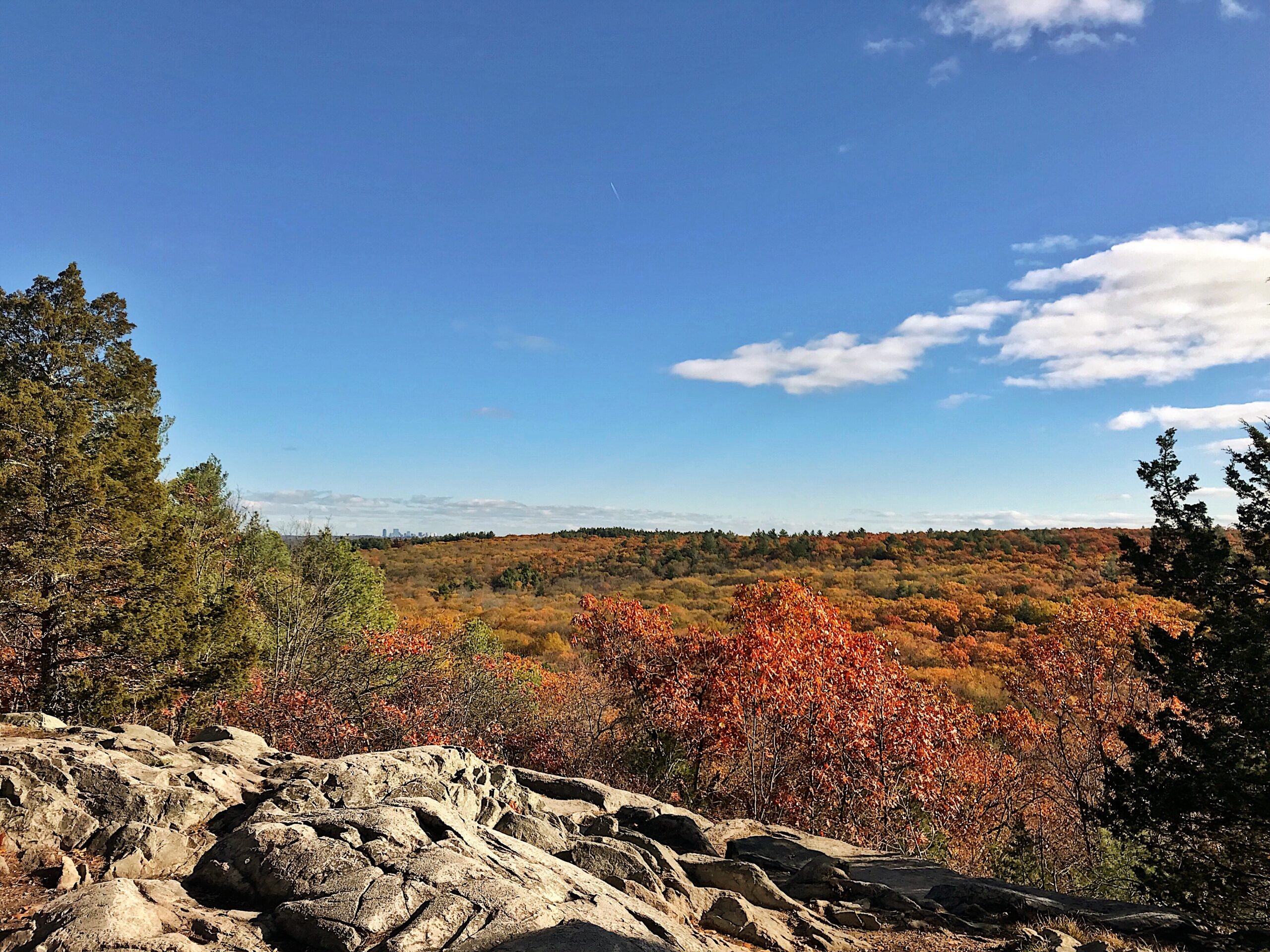
Amble along 10 miles of carriage roads to open fields and spectacular vistas of the South Shore and Boston skyline. Glacial erratics dot the landscape, including a grouping called Ode’s Den, named after a hermit who lived under one of the boulders after losing his home. The American Holly grove is a delightful spot, and don’t miss the Milliken Memorial Path when the rhododendrons and azaleas bloom in spring.
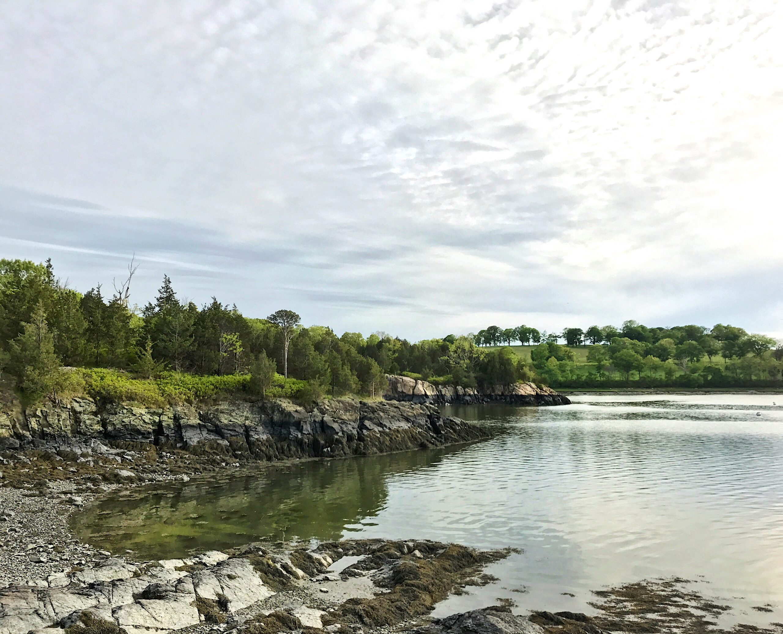
Around 1904, Henry M. Whitney began purchasing parcels of abandoned farmland to create a private estate. The Whitney Woods Association later acquired much of the estate and donated more than 600 acres to The Trustees in 1933, followed by Thayer Woods a decade later. Turkey Hill is co-managed with the Towns of Cohasset and Hingham, and its 187-foot summit affords spectacular views of Cohasset Harbor.
Amble along 10 miles of carriage roads through resurgent hardwood forests and into open fields, catching spectacular vistas of the South Shore and Boston skyline along the way.
Cross the street to family-friendly Weir River Farm and get up close with horses, sheep, and chickens.
When To Visit
Daily, sunrise to sunset.
Admission
FREE to all.
Route 3A
Cohasset and Hingham, MA 02043
Get directions on Google Maps.
Whitney and Thayer Woods Main Parking Area
From Rt. 3 (exit 35), take Rt. 228 North for 6.5 mi. through Hingham. Turn right onto Rt. 3A east and follow for .5 mi. to parking (8 cars) on right for bottom of Turkey Hill or 2 mi. to entrance and parking (20 cars) on right.
Turkey Hill Parking Area
Top of Turkey Hill: Turn onto Leavitt St. off Rt. 228 next to the Hingham Town Library. Follow for 0.6 mi., bear left onto Turkey Hill Ln., and follow to dead end. Entrance and parking (5 cars) on left.
10 miles of trails including the Milliken Memorial path, a “wild garden” that was created in the late 1920s, by Mabel Minott Milliken. Moderate hiking.
Printed trail maps are distributed free from the bulletin board in the parking areas. Please understand that supplies periodically run out.
We recommend that you download a trail map before you visit.
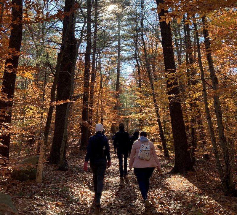
The thick mix of hardwoods and pines that dominate Whitney and Thayer Woods is typical of the history of the region’s terrain since Colonial times: fields and pasturage once plowed by farmers is now re-populated with trees.
When known as the “Common Lands of the Hingham Planters” in the mid-17th century, the land was divided into long strips, set off by stone walls and cleared by settlers for wood fuel, logging, and farming.
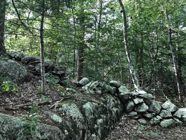
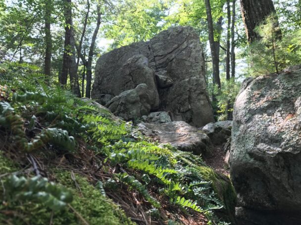
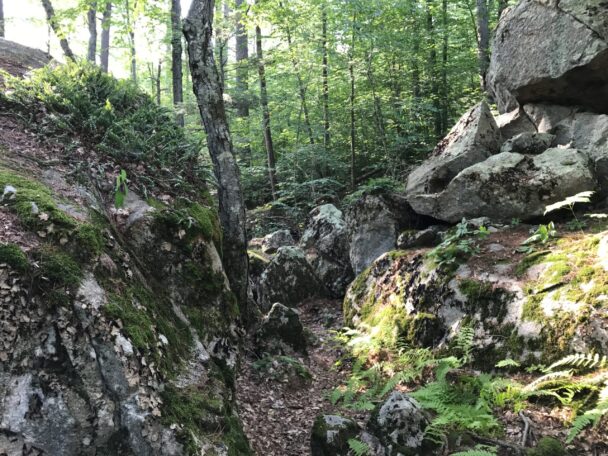
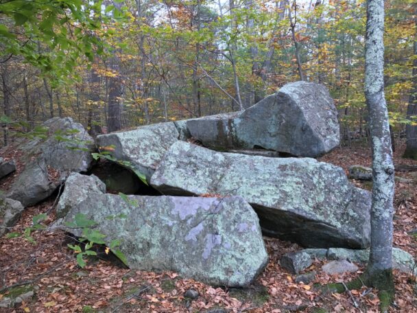
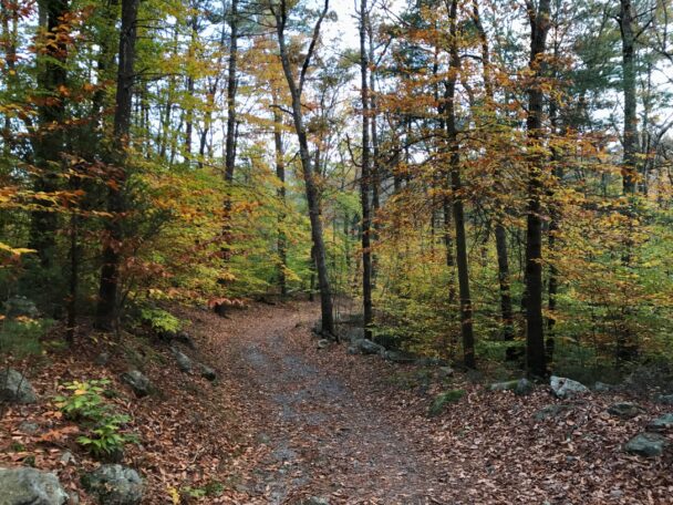
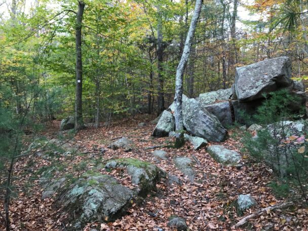
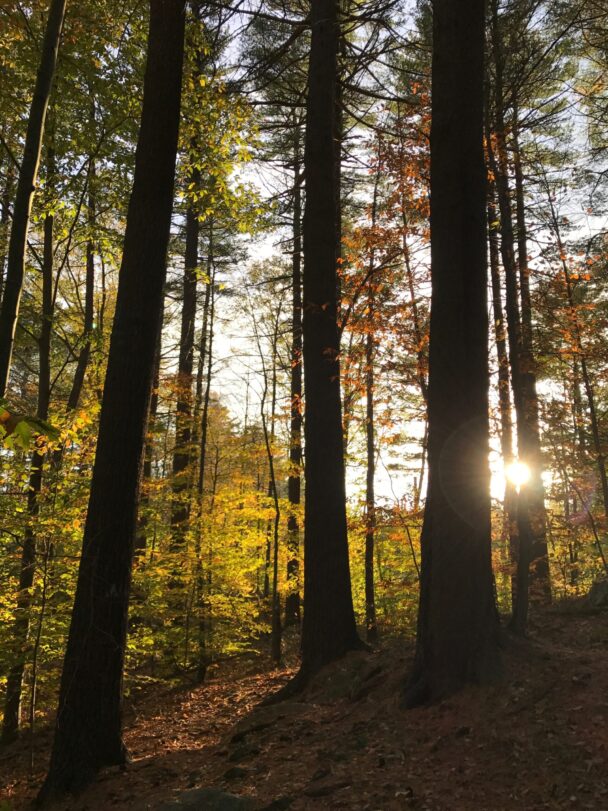
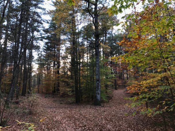
These woods are the perfect place for a easy walk in the wood. The main trails are roads from past centuries, the geological formations that adorn their side are leftovers from the glaciers that preceded our history.
– Tripadvisor user