On the banks of the Charles Ri...
Enjoy peaceful trails at this former farm with a carriage road loop and access to the Charles River.
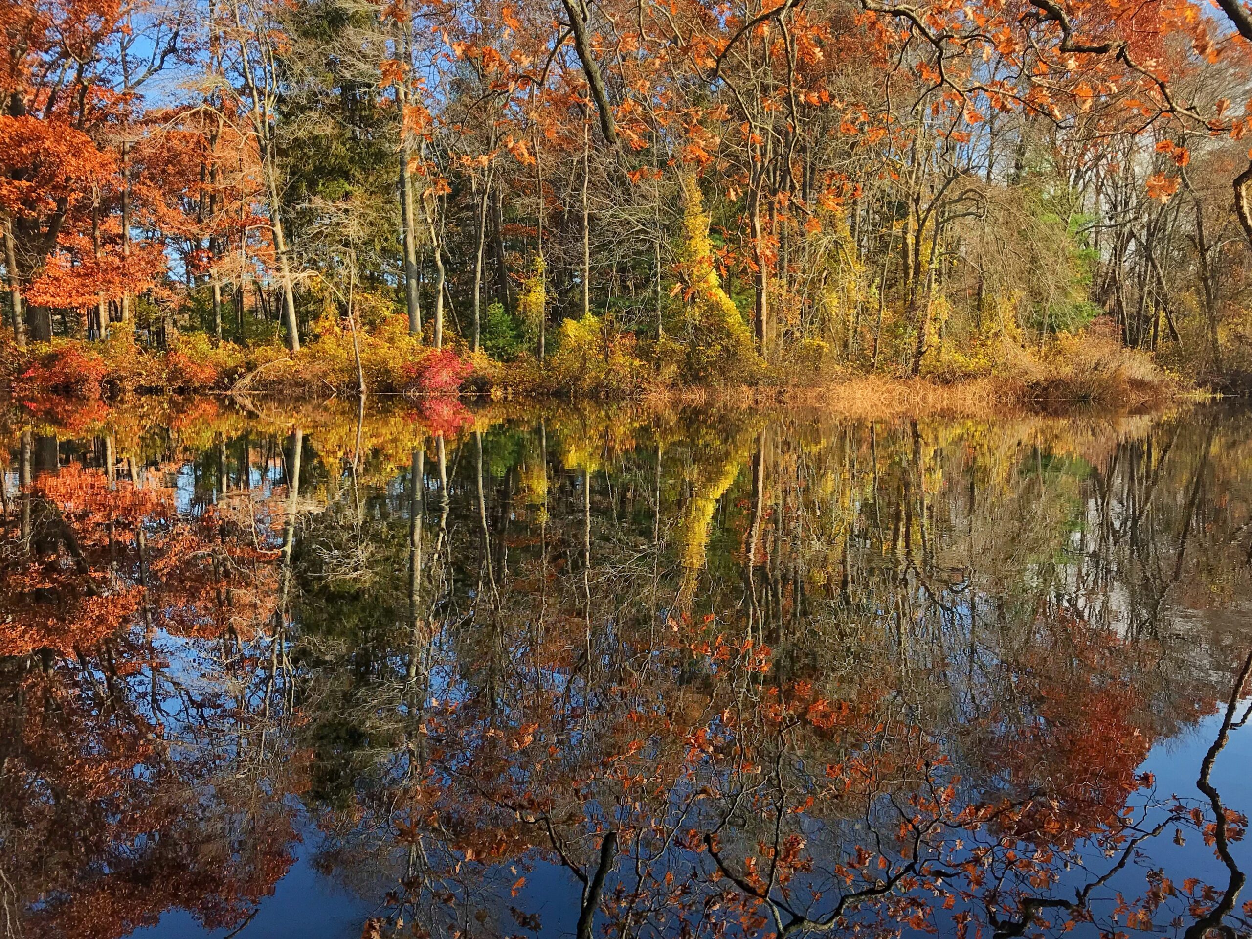
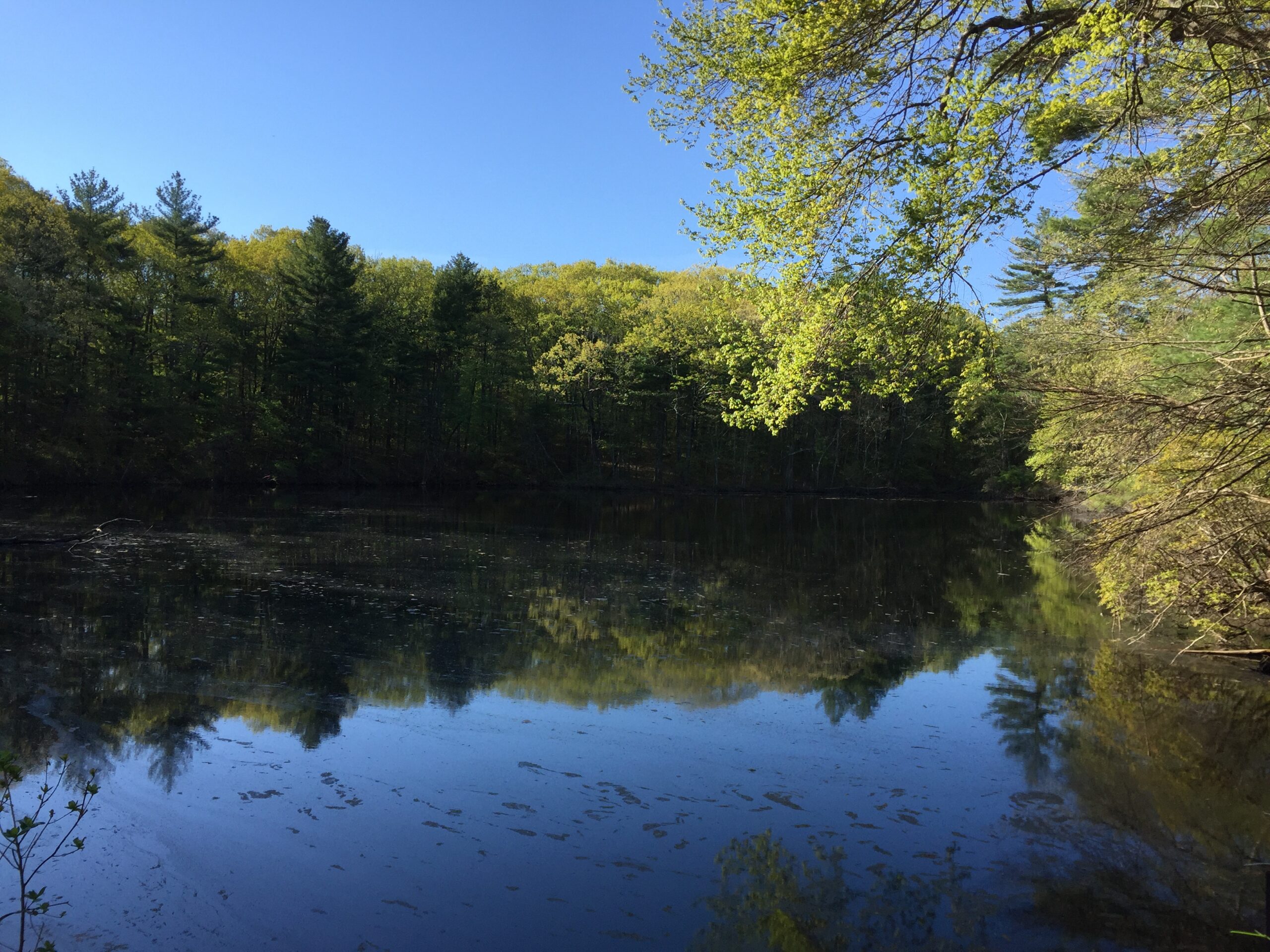
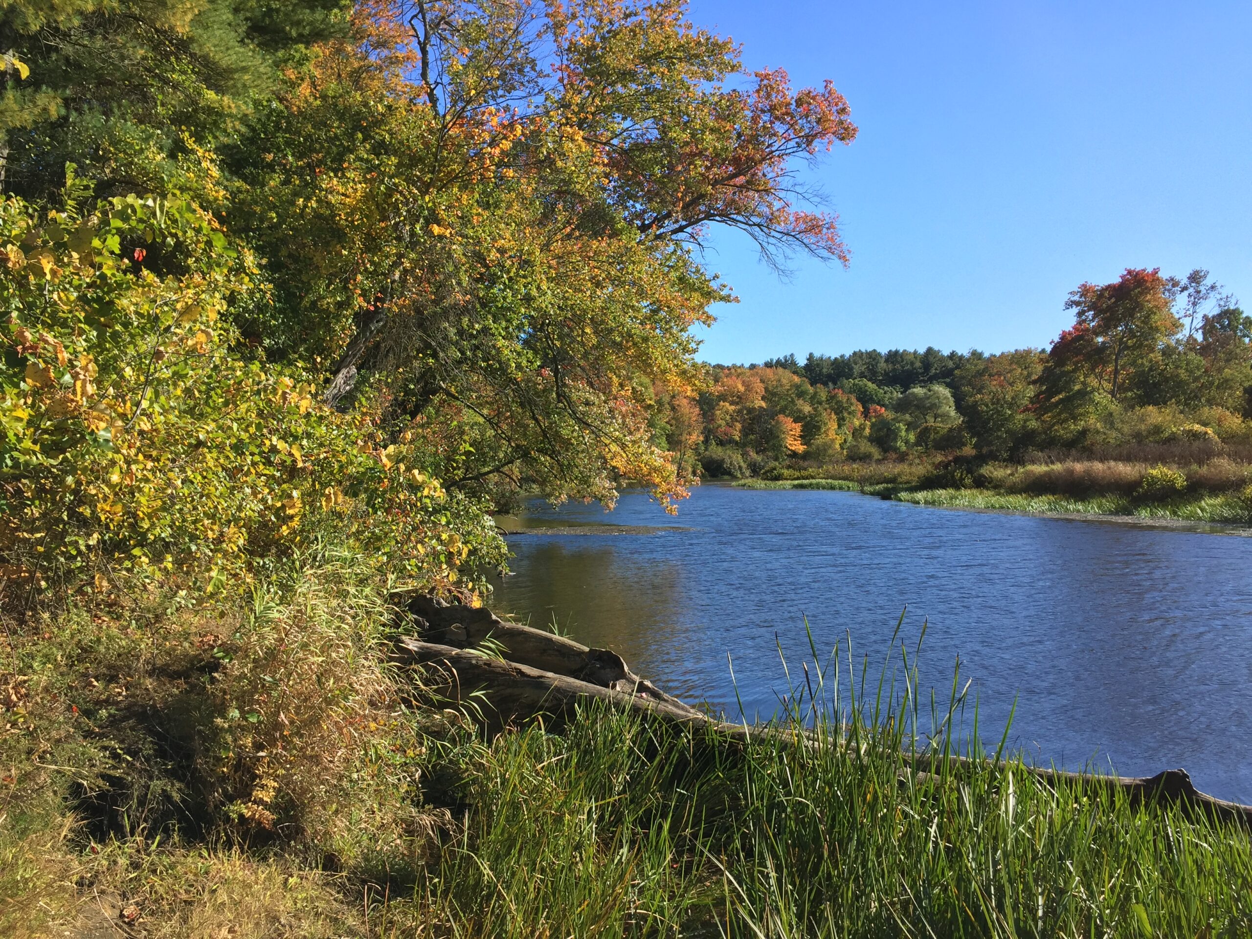
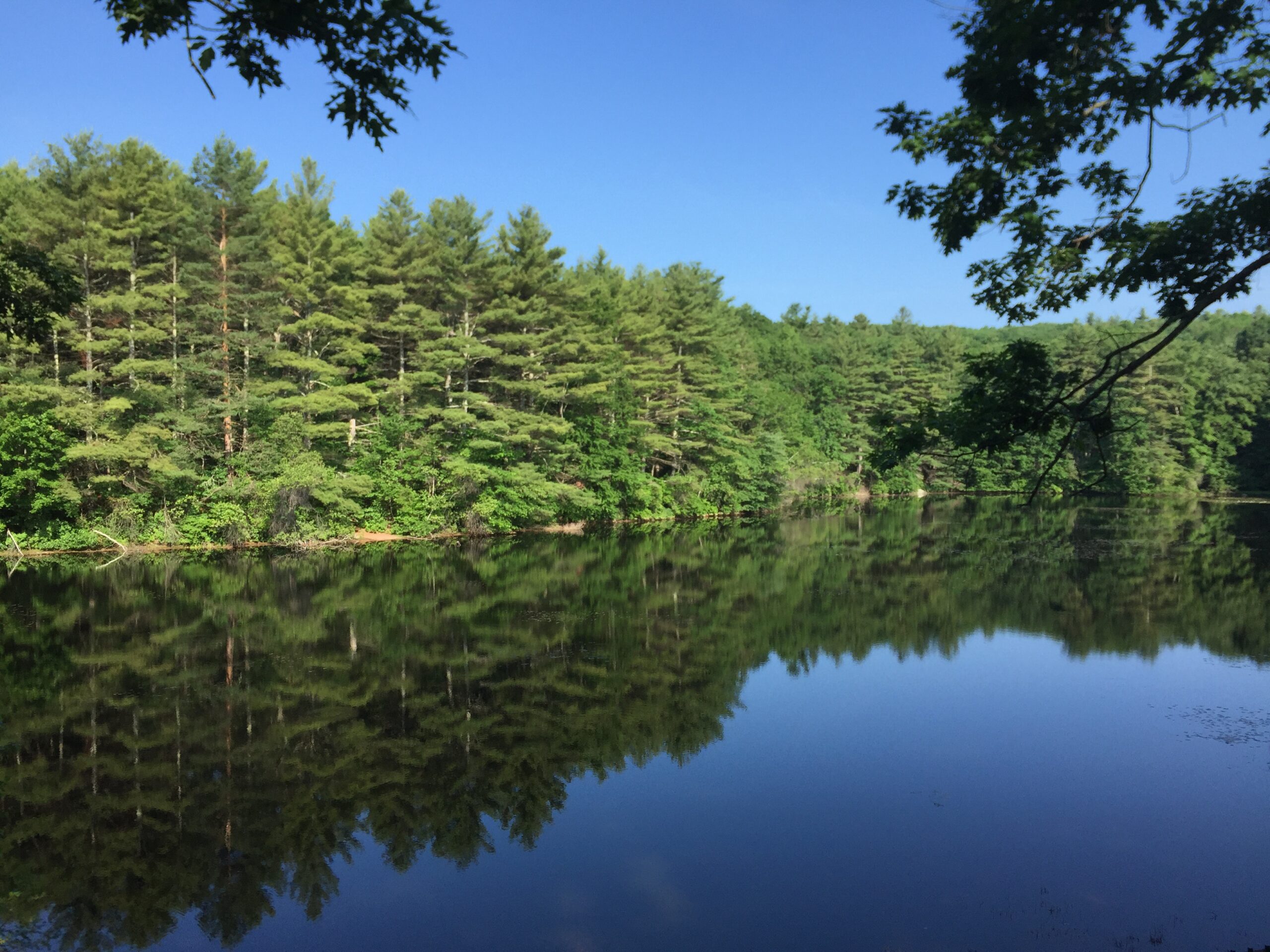
Cedariver boasts beautiful frontage along the Charles River and serves as a prime spot for paddlers to land their boats and take a hike. Through Cedariver and other nearby properties, you can explore more than 500 acres of Trustees-protected land along this section of the Charles River.
Situated within a river environment serving both as a wildlife corridor and as part of the Army Corps of Engineers’ flood-control efforts, Cedariver adds to the Town of Millis’ substantial web of protected public lands, conservation restrictions, and other open space.
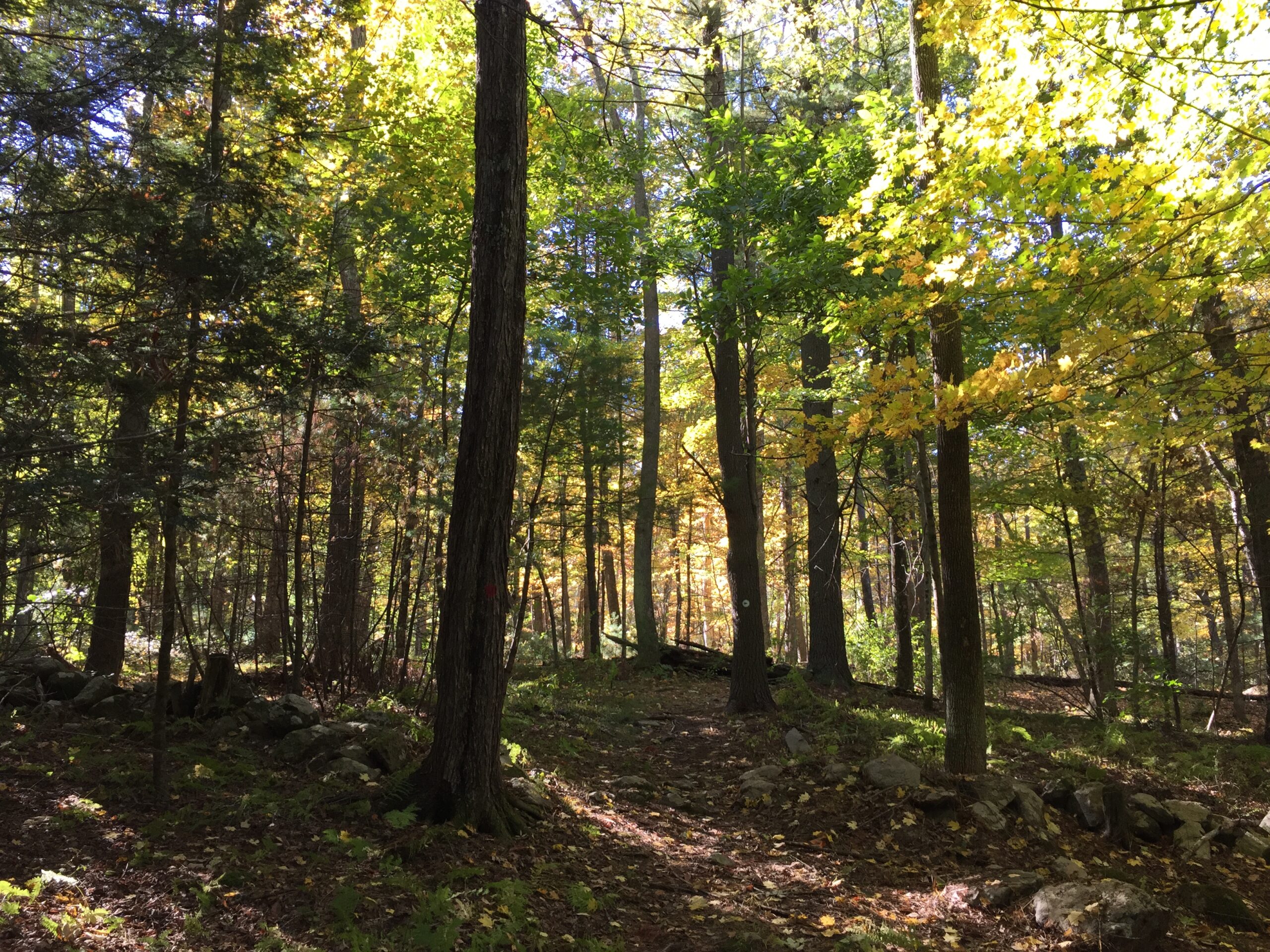
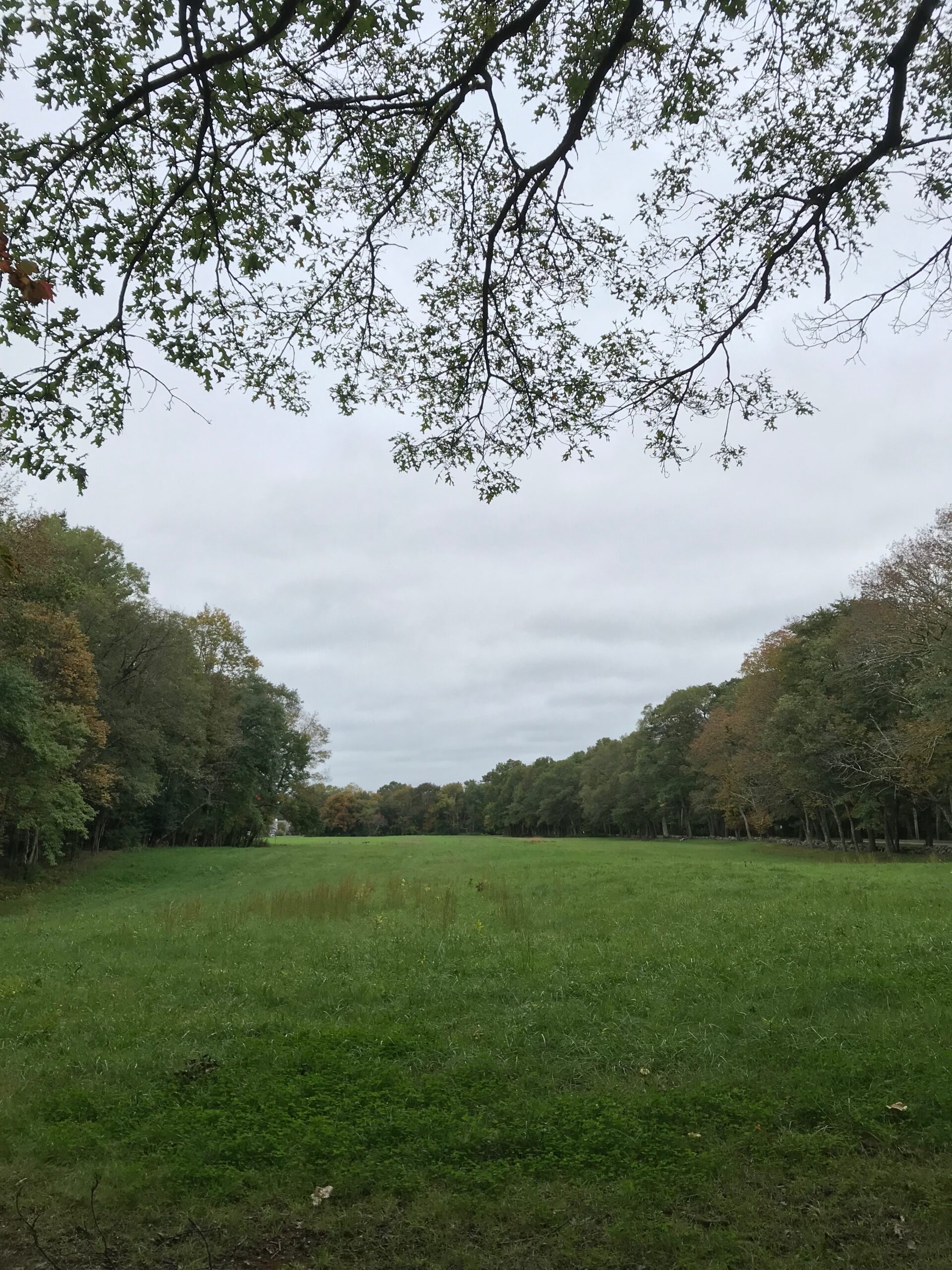
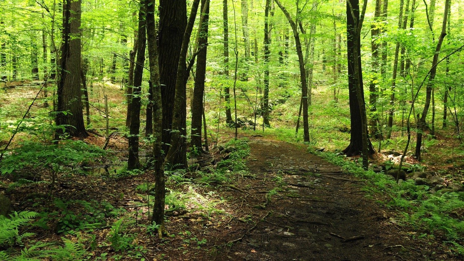
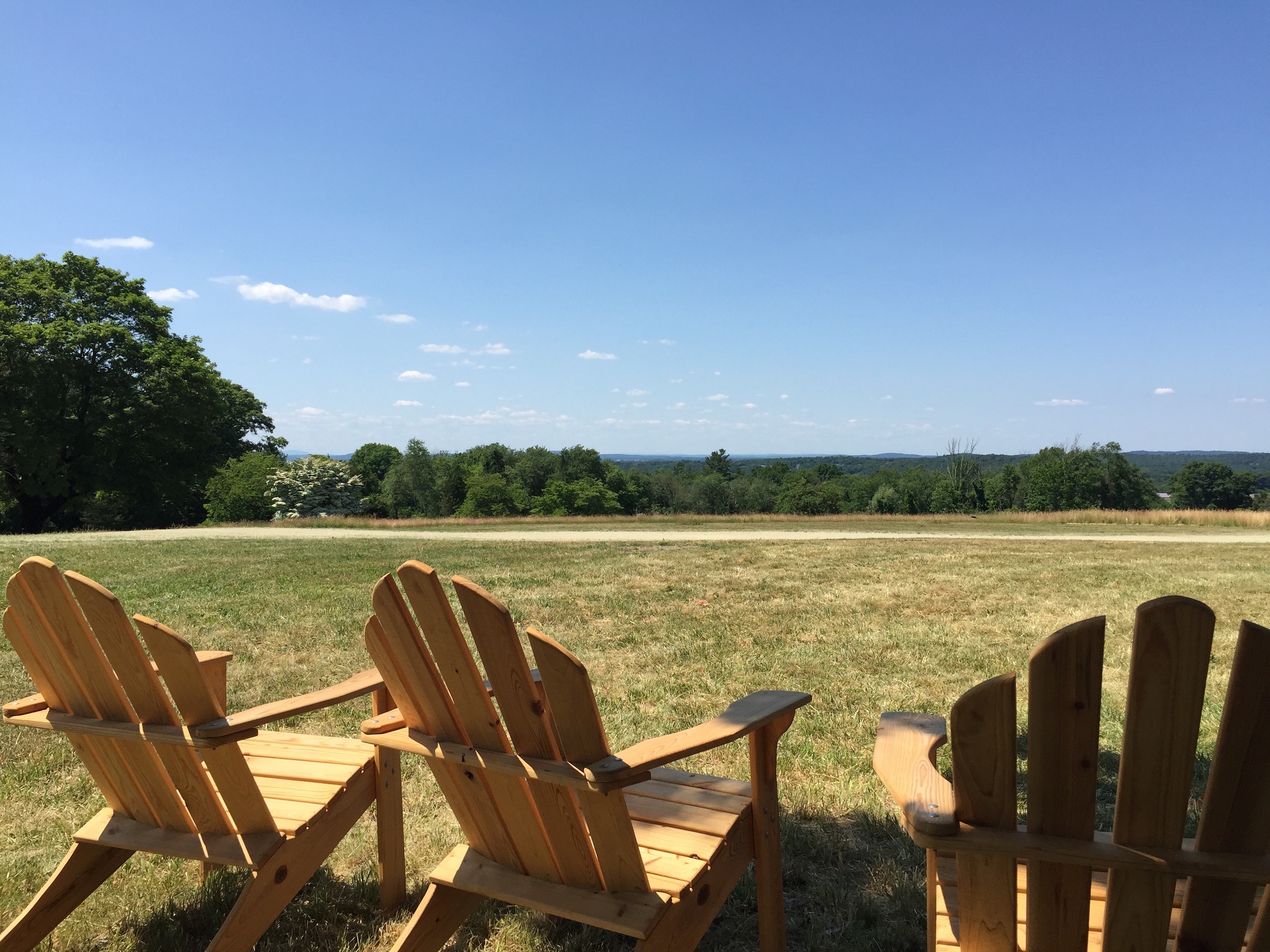
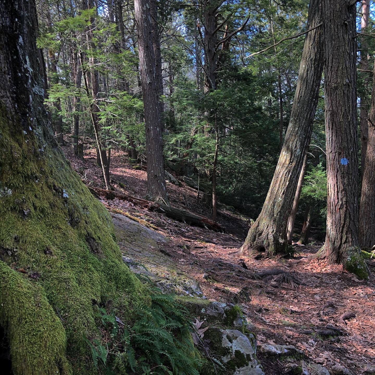
Roam the mile-long cart path loop past more than 50 acres of open fields, woodlands, and pristine riverbank. As Red-tailed Hawks soar above, watch for turkey and deer to appear amid the tall grass and goldenrod, Joe-Pye Weed, and Black-eyed Susans. Be sure to take a selfie under the iconic oak tree!
Roam the mile-long cart path loop past more than 50 acres of open fields, woodlands, and pristine riverbank. As red-tailed hawks soar above, watch for turkey and deer to appear amid the tall grass and goldenrod, Joe-Pye weed, and black-eyed Susans. Be sure to take a selfie under the iconic oak tree!
Along with a canoe/kayak landing at Cedariver, the Army Corps of Engineers manages a small boat launch across the street.
Open daily, sunrise to sunset.
FREE to all.
161 Forest Rd.
Millis, MA 02054
Telephone: 508.785.0339
E-mail: charlesrivervalley@thetrustees.org
Get directions on Google Maps.
From I-495: Exit 48. Follow Rt. 109 East. Proceed to Rt. 115 South in Millis center, then take first left onto Forest Rd. Go 1.2 mi., through stop sign, to entrance on right.
From I-95/Rt. 128: Exit 31B onto Rt. 109 West into Medfield center. Go 0.1 mi. past intersection with Rt. 27, then turn left onto Causeway St. Go 2.4 miles to its end, then turn right onto Orchard St. Go 0.3 mi. and across Charles River to entrance immediately on left.
Trail link to The Trustees Charles River Water Trail
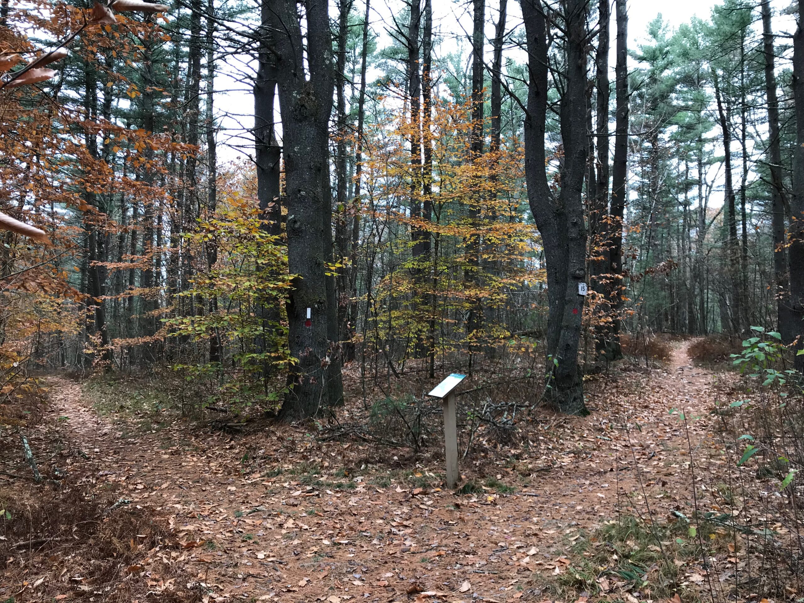
There is a trail map posted on a kiosk in the parking area.
We recommend that you take a photo of the map on your phone so you can refer to it during your visit, or download a trail map before you head out.
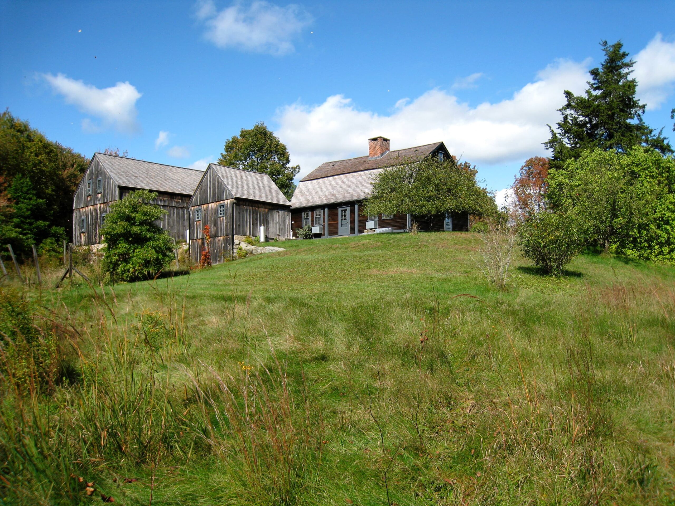
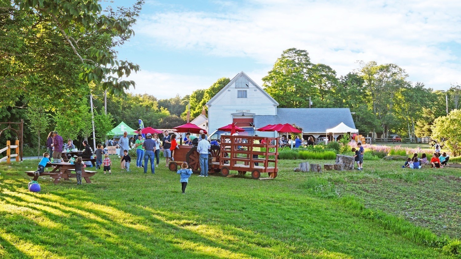
The Baker family operated a small farm here through the mid-20th century. Polly and Talbot Baker had moved to Millis in 1939 and were soon growing crops and raising livestock. In the 1970s, Polly Baker began her farsighted vision for protecting much of the landscape by placing a conservation restriction on it. Upon Mrs. Baker’s death in 2002 at the age of 94, the property, its two residences, and numerous outbuildings were generously donated to The Trustees.
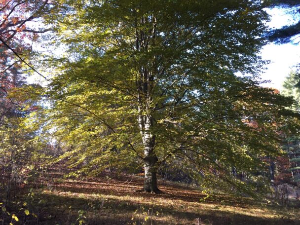
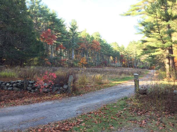
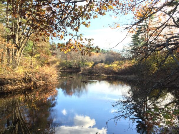
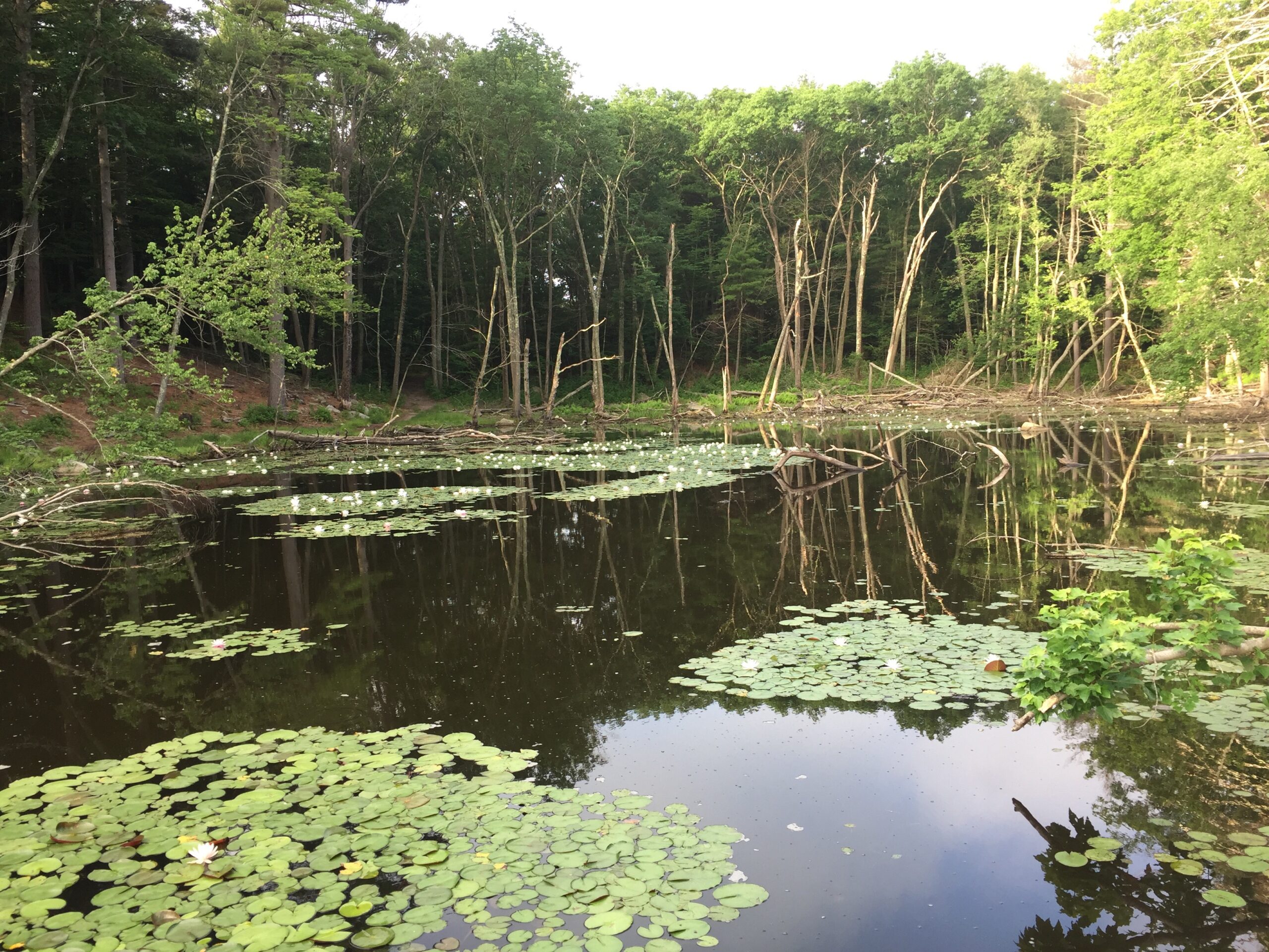
This area borders the meandering Charles River and it is lovely in all seasons, especially when it snows!
– BelizeSnorkelQueen, Trip Advisor