© Krista Photography
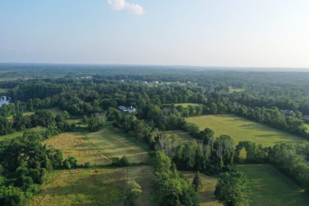
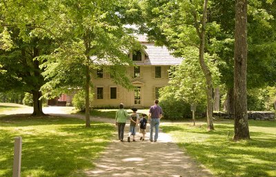
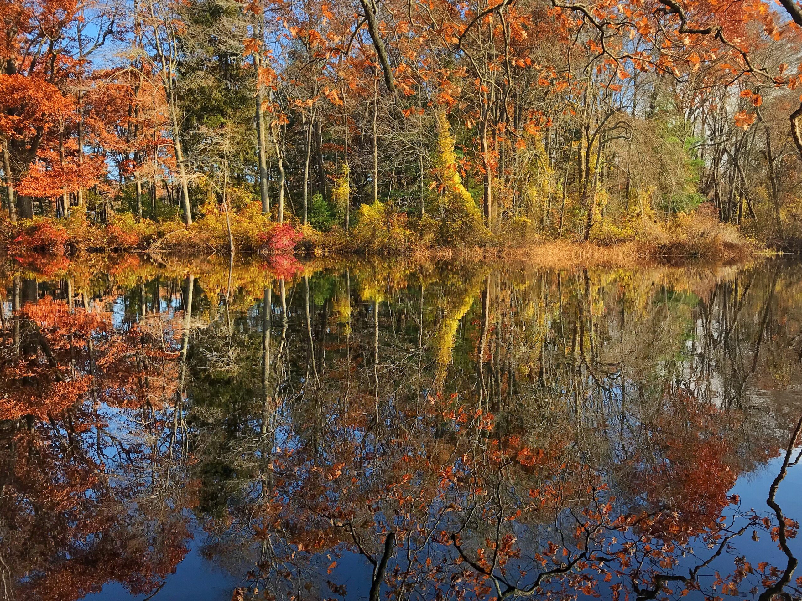
Experience nature’s splendor as a tree-lined entrance leads to an expansive open landscape of stonewall-lined hay fields, forestland, farm lanes, and more than a mile of waterfront.
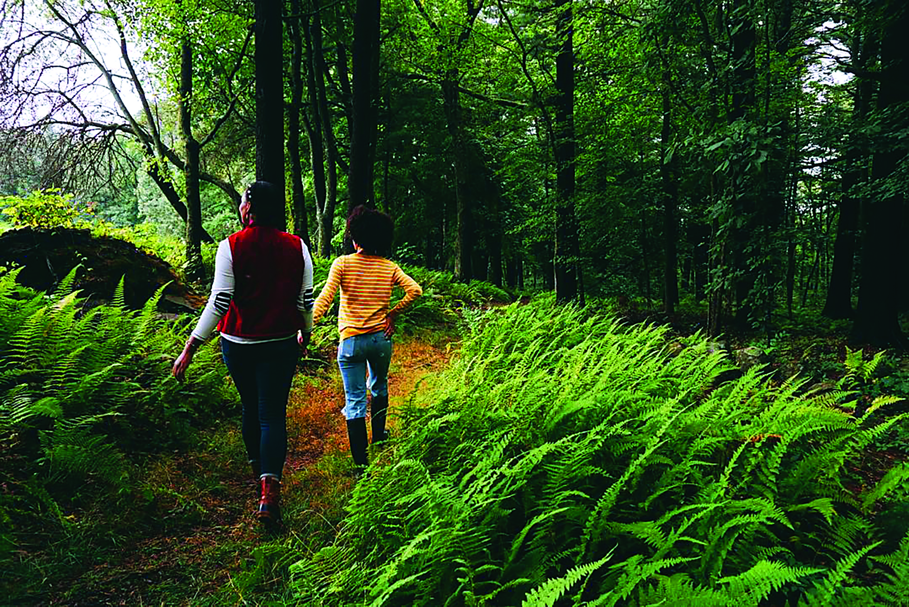
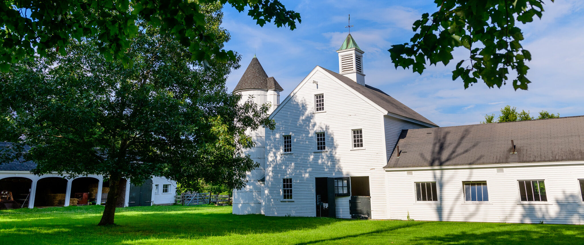
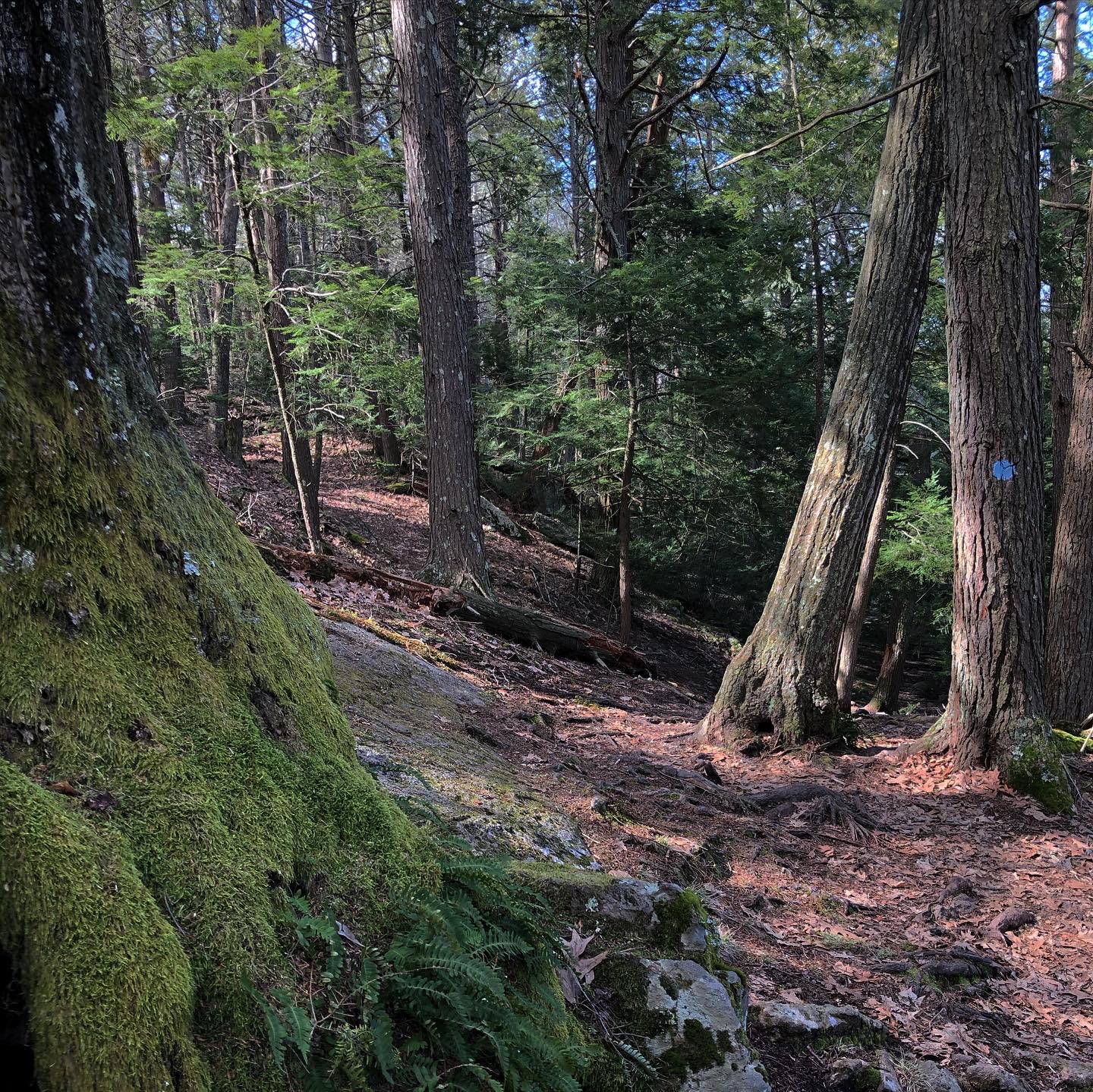
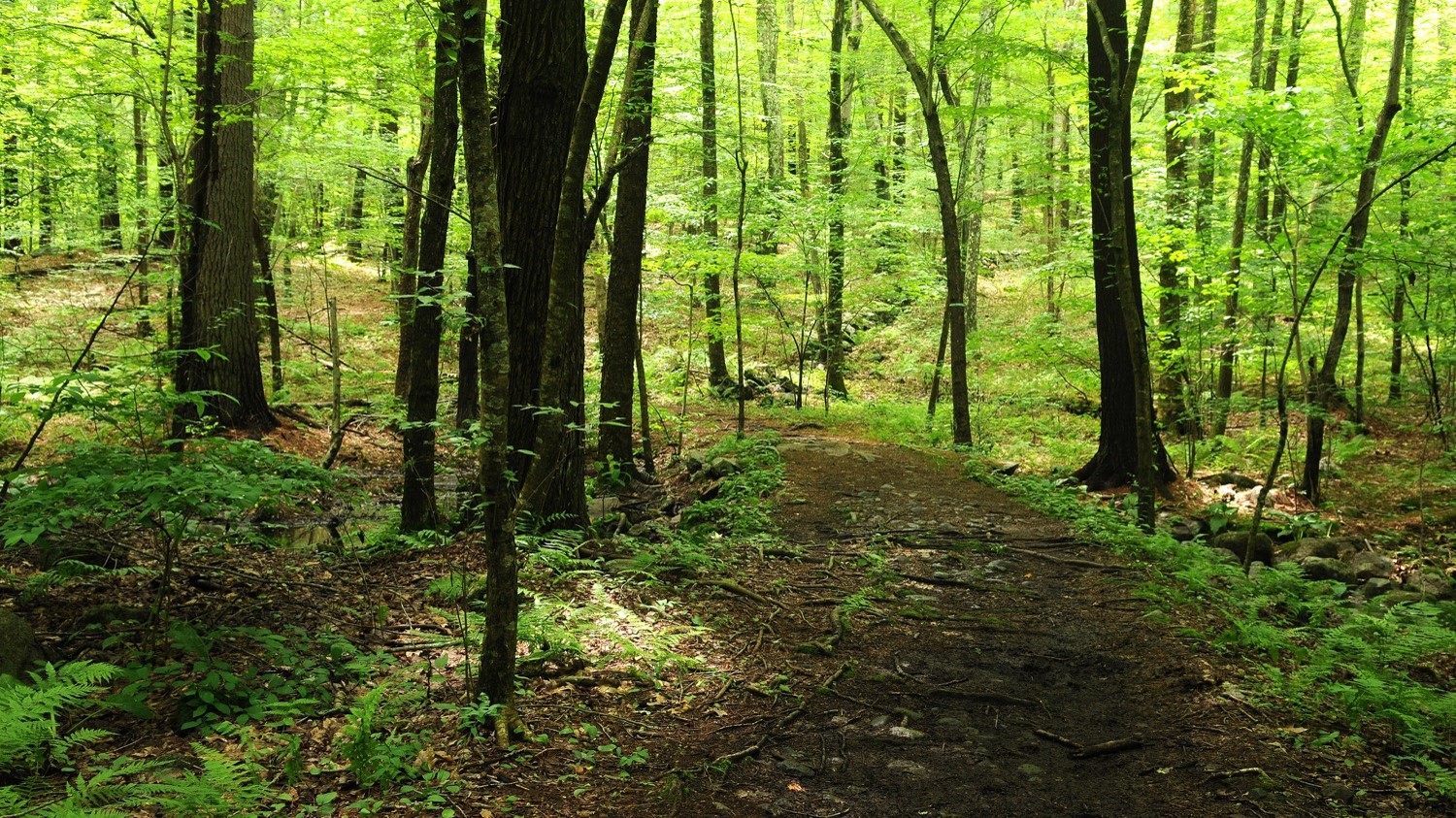
Wander on meandering trails through forests and fields, taking in the stunning landscape features, iconic farm buildings, and mesmerizing birdsongs of Millborn Farm. Engage in self-guided exploration and passive recreation, including bird watching, hiking, horseback riding, snowshoeing, and cross-country skiing.
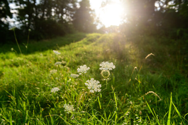
The ecological diversity, open fields, well-marked trails, and places of respite provide ideal spaces for all visitors to explore and learn about the natural world while enjoying being outdoors.
Explore MoreSee what flora and fauna people are discovering here at Millborn Farm, and join in, with the Trustees Biodiversity Monitoring Project on iNaturalist!
Explore 2.5 miles of trails by foot, horseback, cross-country skis, or snowshoes.
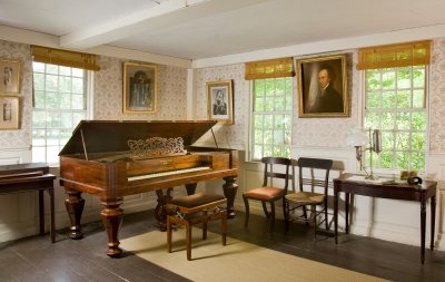
Take the Discovery Loop to learn about the history of Millborn Farm. From the stewardship of the land by the indigenous Nipmuc peoples, to colonization, settlement, and agricultural use of the land over the years that followed. Look for traces of the past and their impact on the land today.
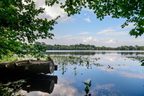
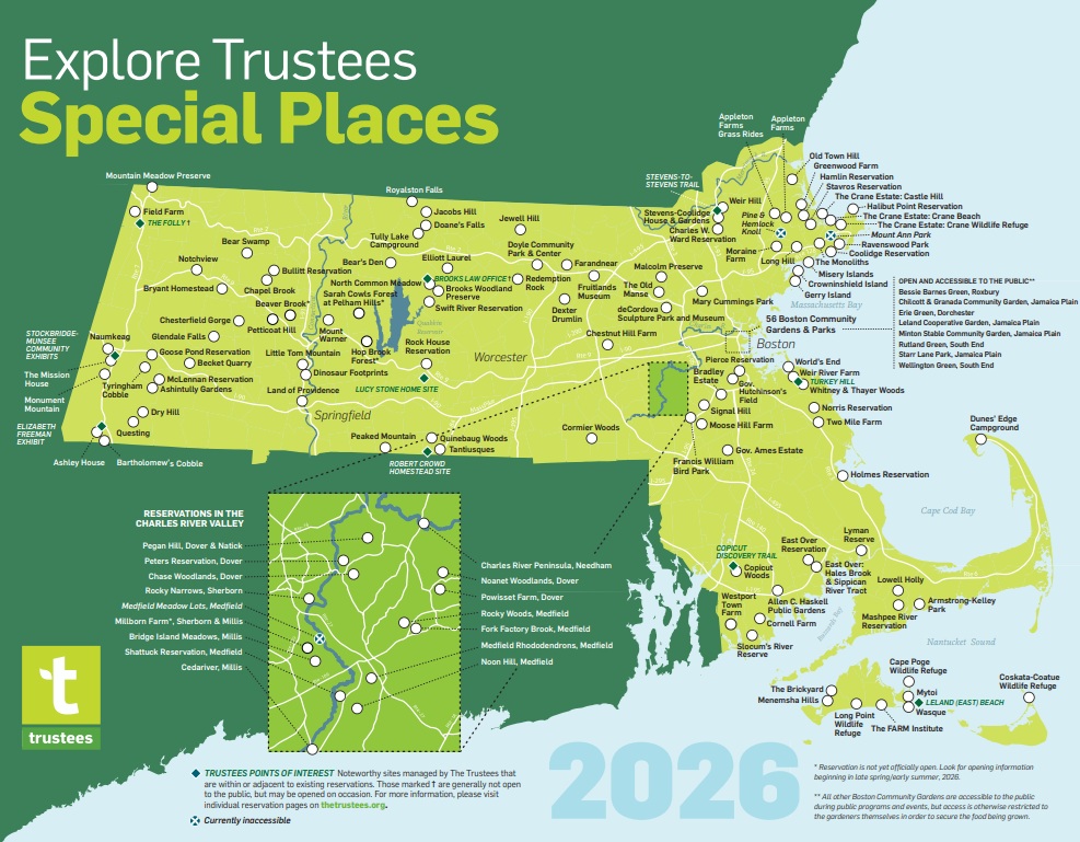
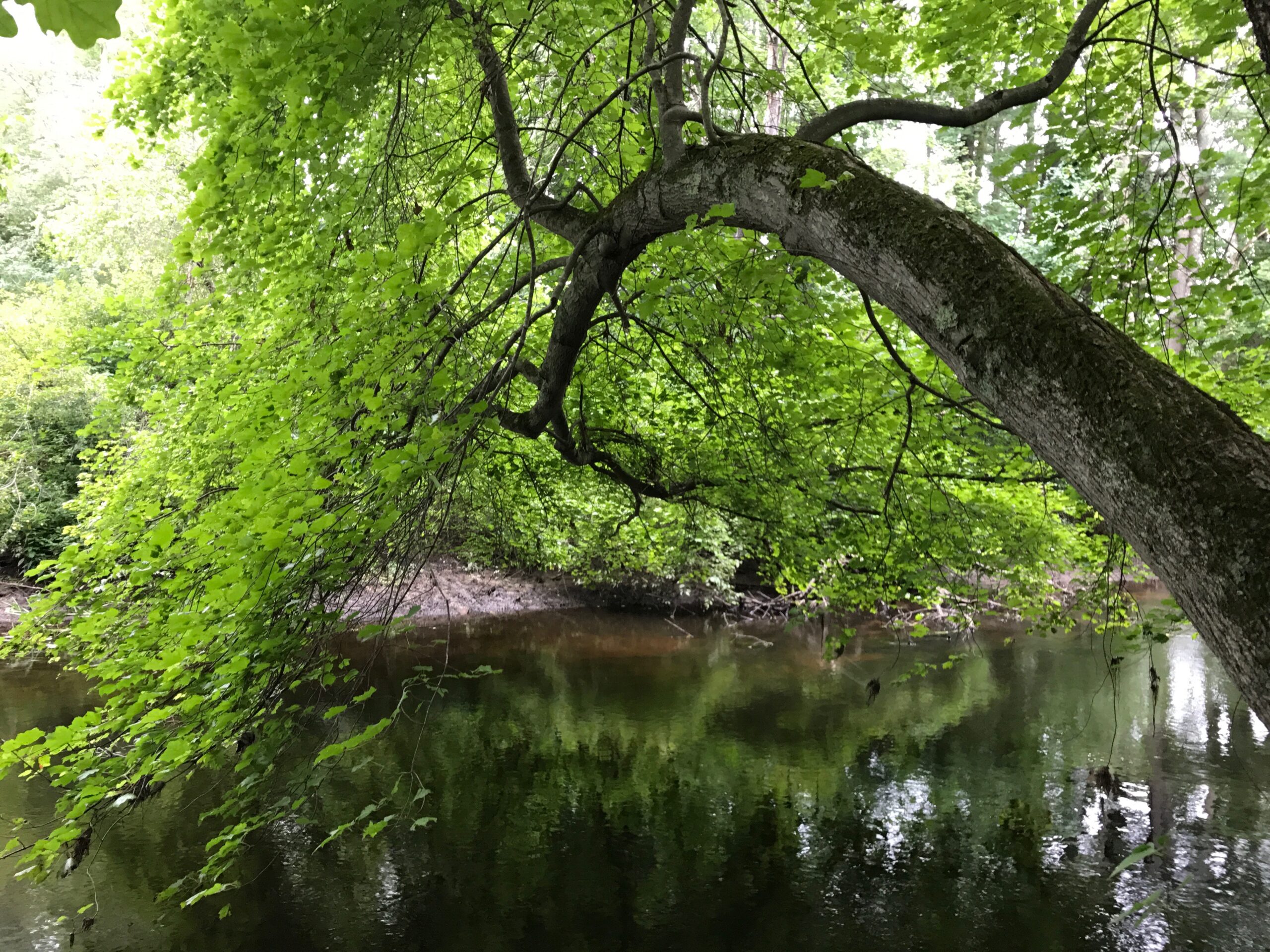
Launch your canoe or kayak at official launch points on Routes 27 or 109 and paddle the Trustees Charles River “Water Trail.” Millborn Farm is part of a regional network of conserved lands along the river, including seven Trustees properties from Millis to Needham.
Well over 100 species of birds have been documented across Millborn Farm. On the Discovery Loop, find signs that will help you identify the birds you may hear or see.
Explore MoreSee what flora and fauna people are discovering here at Millborn Farm, and join in, with the Trustees Biodiversity Monitoring Project on iNaturalist!
When to Visit:
Open daily, sunrise to sunset.
Admission:
FREE to all.
Millborn Farm
97 Bullard St.
Sherborn, MA 01770
Get directions on Google Maps.
Trails
2.5 miles of trail, easy and moderate walking/hiking. Trail link to The Trustees Charles River Water Trail.
Accessibility Features
There is a trail map posted at the visitor kiosk.
We recommend that you take a photo of the map or download a trail map before you visit.
on this page
The landscape you see today—open meadows, water edges, and knolls—reflects land stewardship by the Nipmuc people, including seasonal movement, agriculture, and controlled burning that created a diverse agricultural and ecological mosaic landscape. Archaeological evidence on the site includes artifacts of the original peoples dating back thousands of years.
By the mid-1600s, many of the Nipmuc were forcibly displaced by settler colonialism after the arrival of the English. Over time, families including the Wares, Hills, Crowleys, and Masons established large farms, living and working across these fields while adapting to changing agricultural needs. In 1935, Ruth Paine Cunningham brought together multiple parcels to create Millborn Farm—so named because the property spans both the towns of Millis and Sherborn—and modernized its agricultural operations.
The waterways found here are not just scenic—they are the reason both Indigenous and early colonial people settled this area. The Charles River, as well as South End Pond and Bogastow Brook, provided food, transportation, fertile floodplains, and access for farming and small-scale industries.
Property Acquisition History
Purchased in 2024.