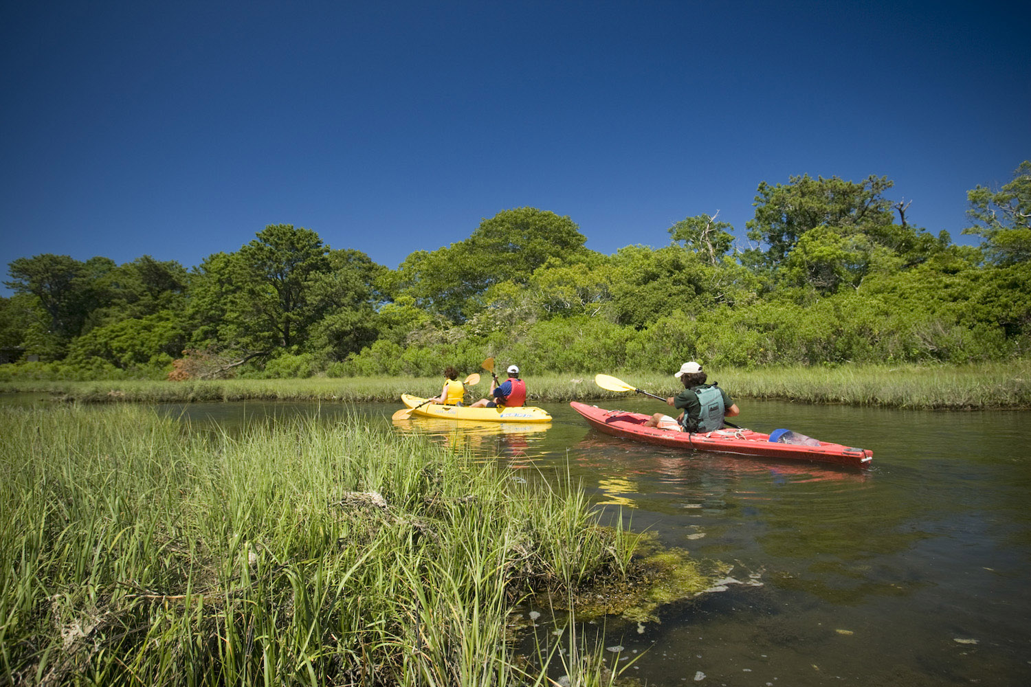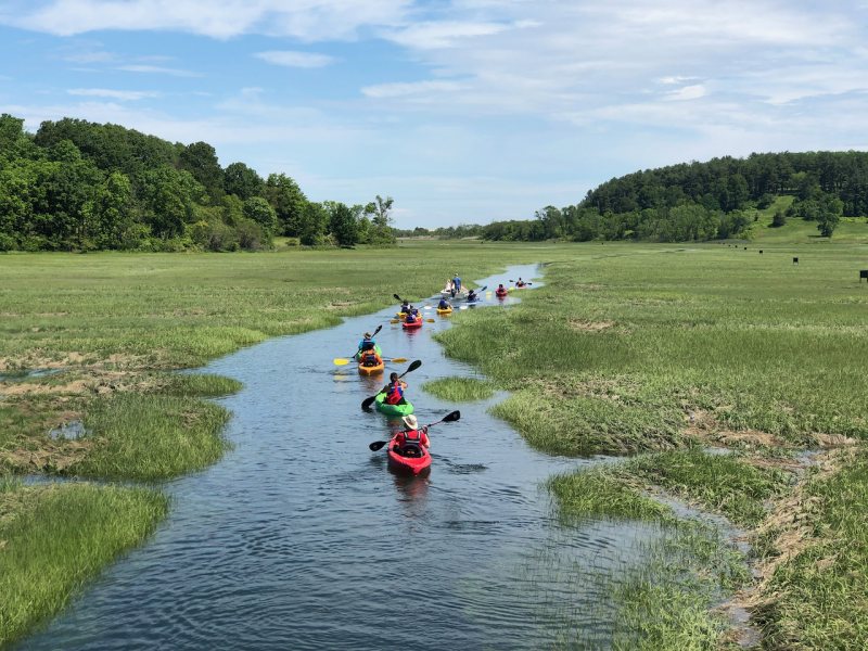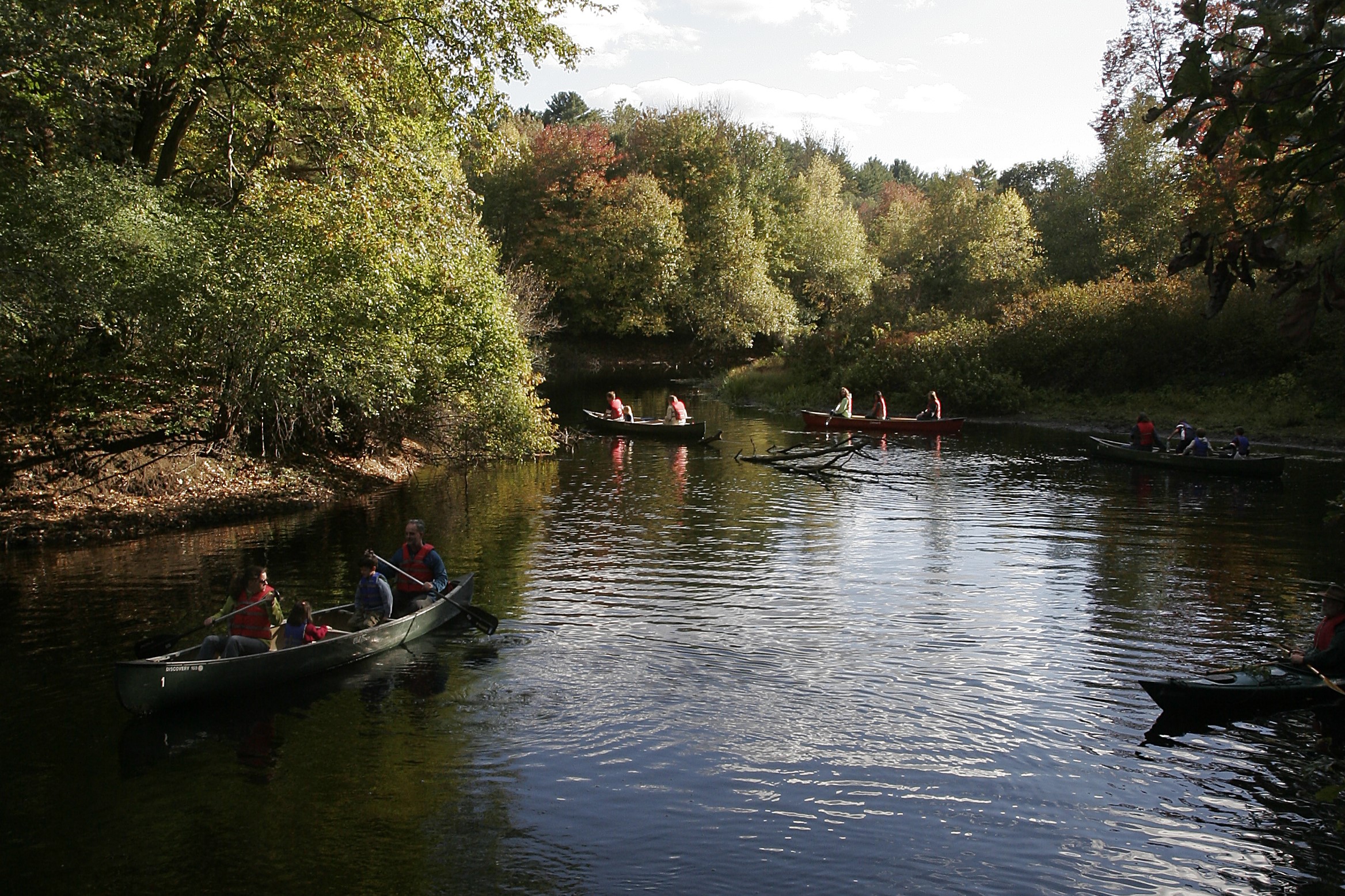
Exploring by kayak, canoe, or SUP provides new adventures and perspectives. We invite you to discover by boat the many Trustees properties on the Charles River Water Trail.
Please note, the below properties are for watercraft landing only.
Trustees Properties on the Charles River Water Trail
Cedariver, Millis
Consider strolling around this bucolic 55-acre former farm before getting on the Charles River at the nearby canoe/kayak landing owned by the U.S. Army Corps of Engineers.
Shattuck Reservation, Medfield
Overlooking the Charles, this 245-acre forested former pasture has a wet meadow and red maple swamp. Access the river via several put-in spots in Medfield.
Medfield Rhododendrons, Medfield
Medfield Rhododendrons is the site of an important and rare stand of Rhododendron maximum, the Great Laurel or Rosebay Rhododendron, one of only three species of evergreen rhododendrons native to eastern North America.
Bridge Island Meadows, Millis
This 80-acre hideaway is accessible only by boat, via Bogastow Brook when the water level is high enough. Tree-covered knolls, tall grasses, and the surrounding floodplain reward determined paddlers.
Millborn Farm, Sherborn
Launch your canoe or kayak at official launch points and paddle the Trustees Charles River “Blue Trail.” Millborn Farm is part of a regional network of conserved lands along the river, including seven Trustees properties from Millis to Needham.
Rocky Narrows, Sherborn
This swath of woodlands in Sherborn abuts the Town Forest and overlooks a pastoral section of the Charles, as it meanders quietly through ancient cliff walls and steeply wooded hillsides.
Peters Reservation, Dover
Savor the trails and understory plantings laid out by famed landscape architect Fletcher Steele before slipping your boat into the Charles at the boat launch on Bridge Street.
For kayaking on the Charles River, we recommend the Charles River Watershed Association’s (CRWA) Charles River Canoe and Kayak Guide—a detailed flip map available to purchase on CRWA’s website, crwa.org. Several Members also recommend The Charles River: Exploring Nature and History on Foot and by Canoe by Ron McAdow (Bliss Publishing Co., 2000).