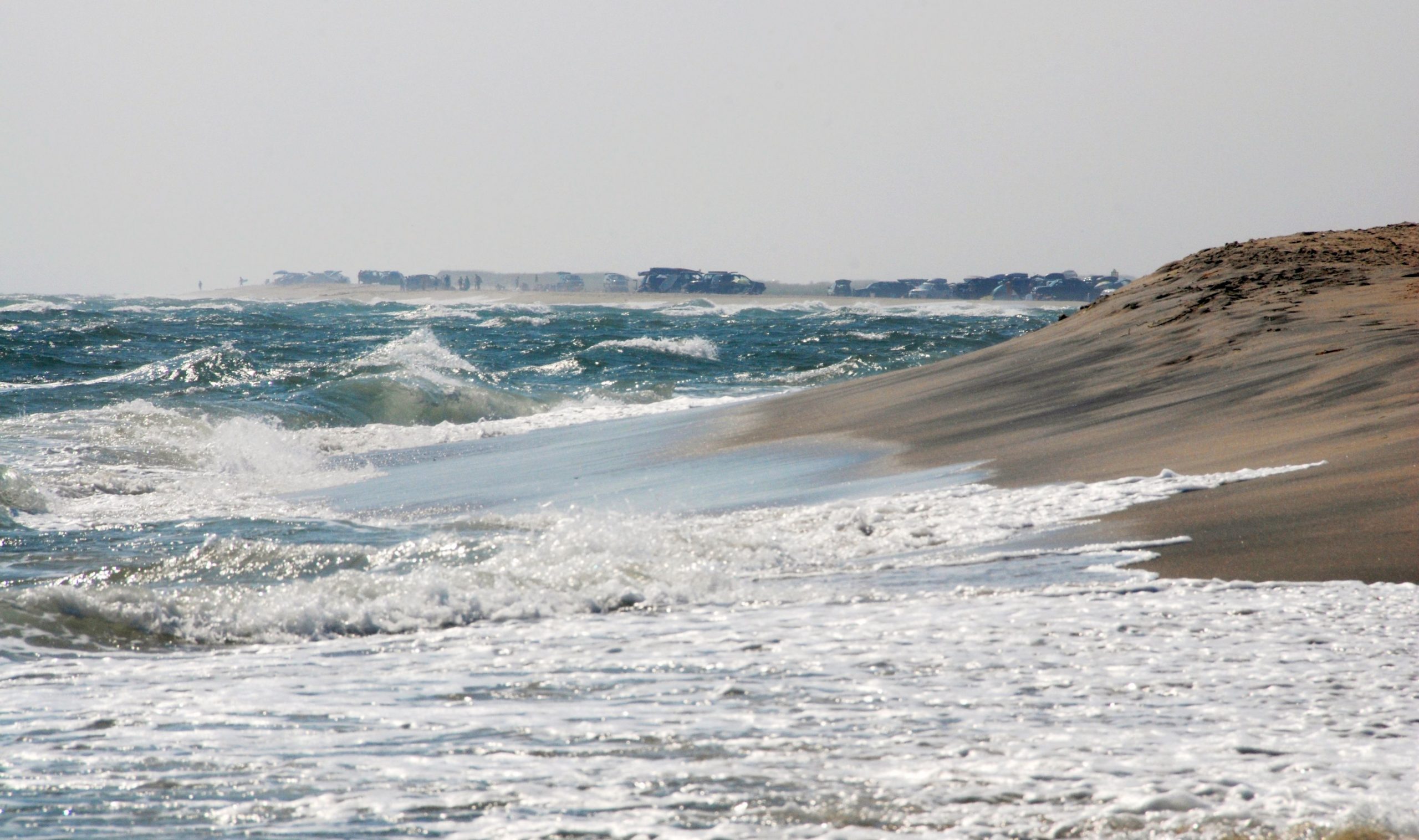
By 2050, more than 3,500 structures on Martha’s Vineyard and Nantucket may be impacted by storm flooding, and nearly 800 structures lost to erosion, according to The Trustees 2nd annual State of the Coast report.
“The impacts of flooding and erosion on these beloved Islands will affect thousands who live and work there, and the thousands more who visit each summer,” says Tom O’Shea, Trustees Managing Director of Resources and Planning. “To put this into perspective: today’s storm is tomorrow’s high tide. The storm surge from Winter Storm Riley in March 2018 produced a water level on Martha’s Vineyard that is roughly equivalent to the average height of the highest tide projected for 2050.”
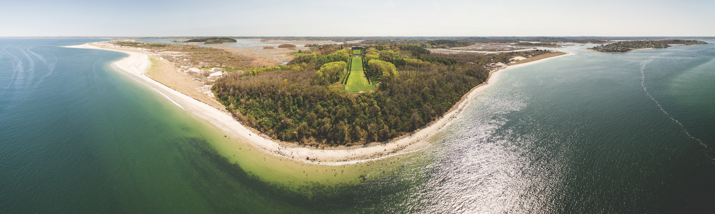
The 44-page report highlights the climate change-driven impacts of sea level rise and storm flooding faced by Martha’s Vineyard, Nantucket, and Gosnold (Elizabeth Islands). These include impacts to beaches, salt marsh, developed areas like harbors and business districts, coastal banks, and habitats in Aquinnah, Chilmark, Edgartown, Gosnold, Nantucket, Oak Bluffs, Tisbury, and West Tisbury.
Download the report by clicking the image to the left.