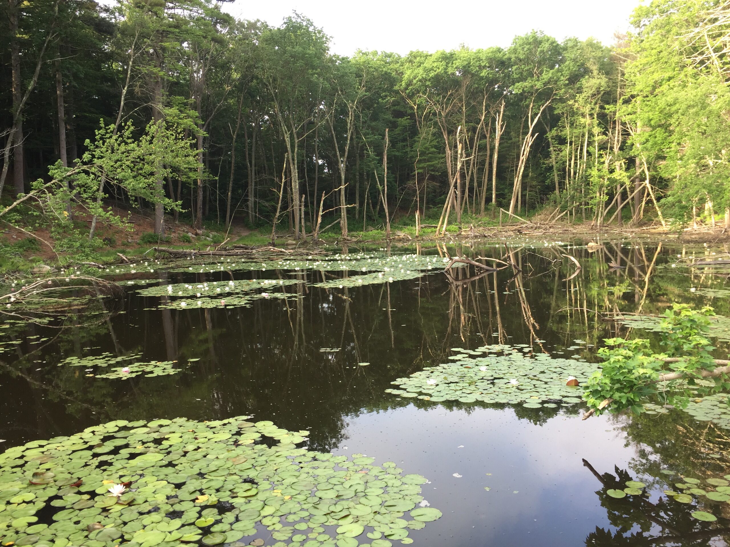
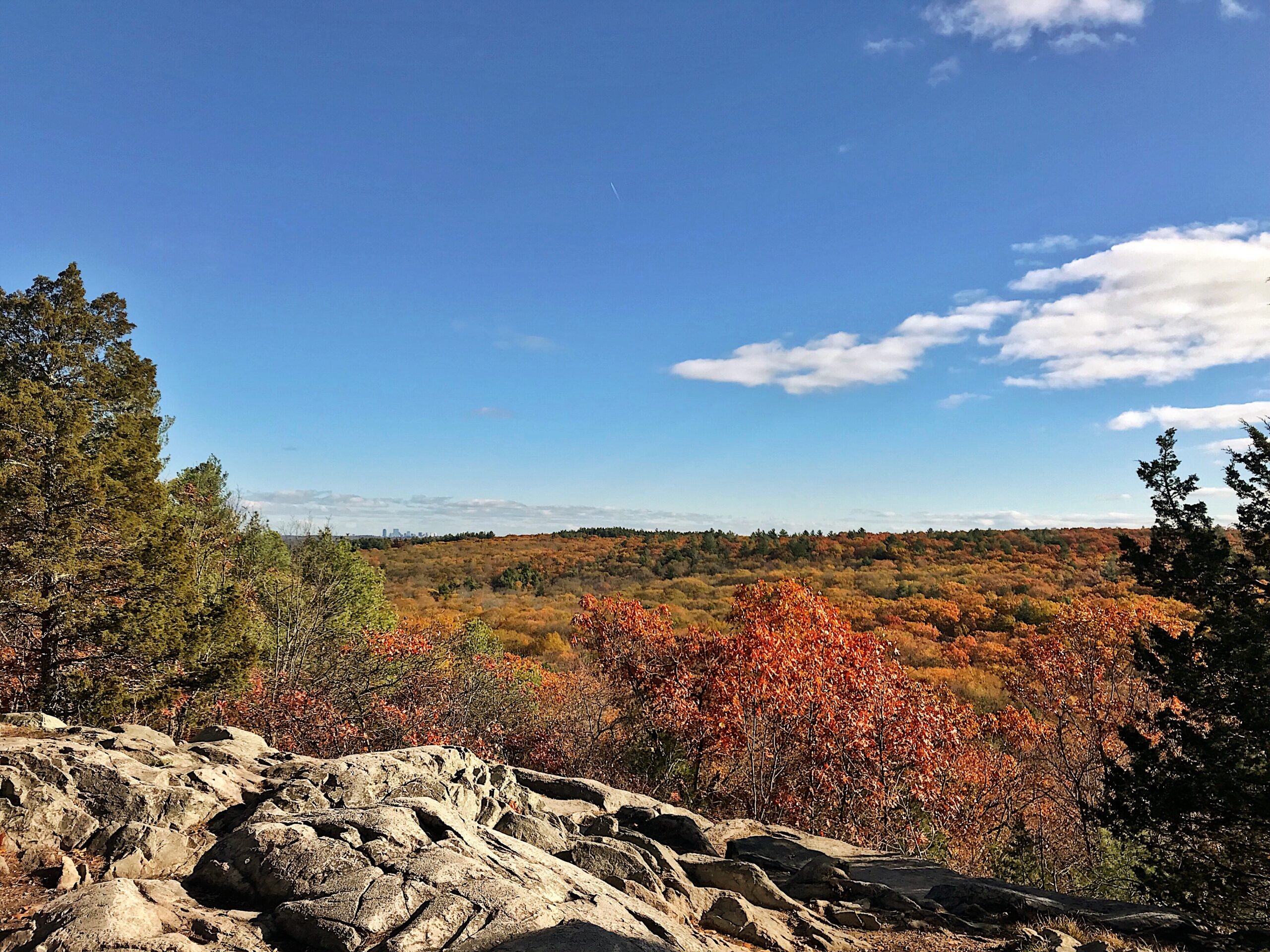
Follow winding trails from upstream cranberry bogs and woods to a sandy beach at Buttermilk Bay.
Home to one of the last remaining native sea-run brook trout fisheries in the eastern United States, the Theodore Lyman Reserve sits at the mouth of 4.5-mile-long Red Brook on Buttermilk Bay. Lyman is popular today for catch-and-release fly fishing as The Trustees works to restore this treasured habitat.
A one-and-a-half-mile loop trail winds its way from the parking lot to Red Brook, inviting deeper exploration of the reserve’s freshwater wetlands, pine barrens, and sandy beach. A scenic stretch of coastal shoreline offers views of Buttermilk Bay and the Cape Cod Canal vertical lift railroad bridge. A quarter-mile trail across Head of the Bay Road provides a scenic loop through maritime scrub oak and pine to the beach on beautiful Buttermilk Bay.
Grab a rod and cast a fly from the various old bridge and flume sites upstream and from the marsh near the mouth of Red Brook. (Please note that only catch-and-release fishing is allowed.) A short trail winds its way through freshwater wetlands, pine barrens, and sandy beach. A one-and-a-half-mile loop trail winds its way from the parking lot to Red Brook, inviting deeper exploration of the reserve’s freshwater wetlands, pine barrens, and sandy beach; a quarter-mile trail across Head of the Bay Road provides a scenic jaunt through maritime scrub oak and pine to the beach.
When To Visit
Daily, sunrise to sunset. Allow a minimum of one hour.
Admission
FREE to all.
Head of the Bay Road and Red Brook Road
Bourne, Plymouth, and Wareham, MA
Get directions on Google Maps.
From I-495 South: Follow to Rt. 25 East. Take Exit 3 (to Buzzards Bay, Bourne) just north of the Bourne Bridge. Bear right off ramp. Take immediate right onto Head of the Bay Road. Follow for approx. 3 mi. around the eastern and northern shores of Buttermilk Bay. Parking lot entrance is about 250 feet beyond Packard St. on right hand side.
From Rt. 3 South: Take Exit 1A, Rt. 6 West. Slight right at Bournedale Rd. Continue onto Head of the Bay Road. Follow as above.
There is a map posted on a kiosk in the main parking area.
We recommend that you take a photo of the map on your phone so you can refer to it during your visit, or download a trail map before you head out.
Named for water tinted red by the iron-rich soil near its source, Red Brook has been used by humans for nearly two millennia. Archaeological studies indicate that the area was an important encampment for Wampanoags some 1,800 years ago. Those who camped at Red Brook used clay cooking pots, sharpened stone blades, and ate seafood, deer meat, and other game.
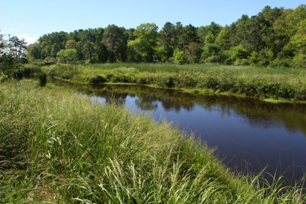
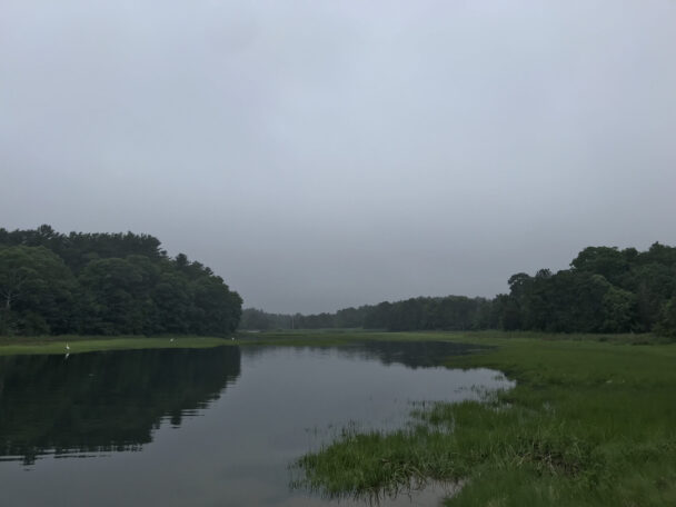
The tidal river at the top of Buttermilk Bay has one of the cleanest, healthiest tidal ecosystems in SE MA. Visit at low tide for great beach combing. This beautiful salt water farm also has interesting inland trails.
– Pearlyww, Trip Advisor