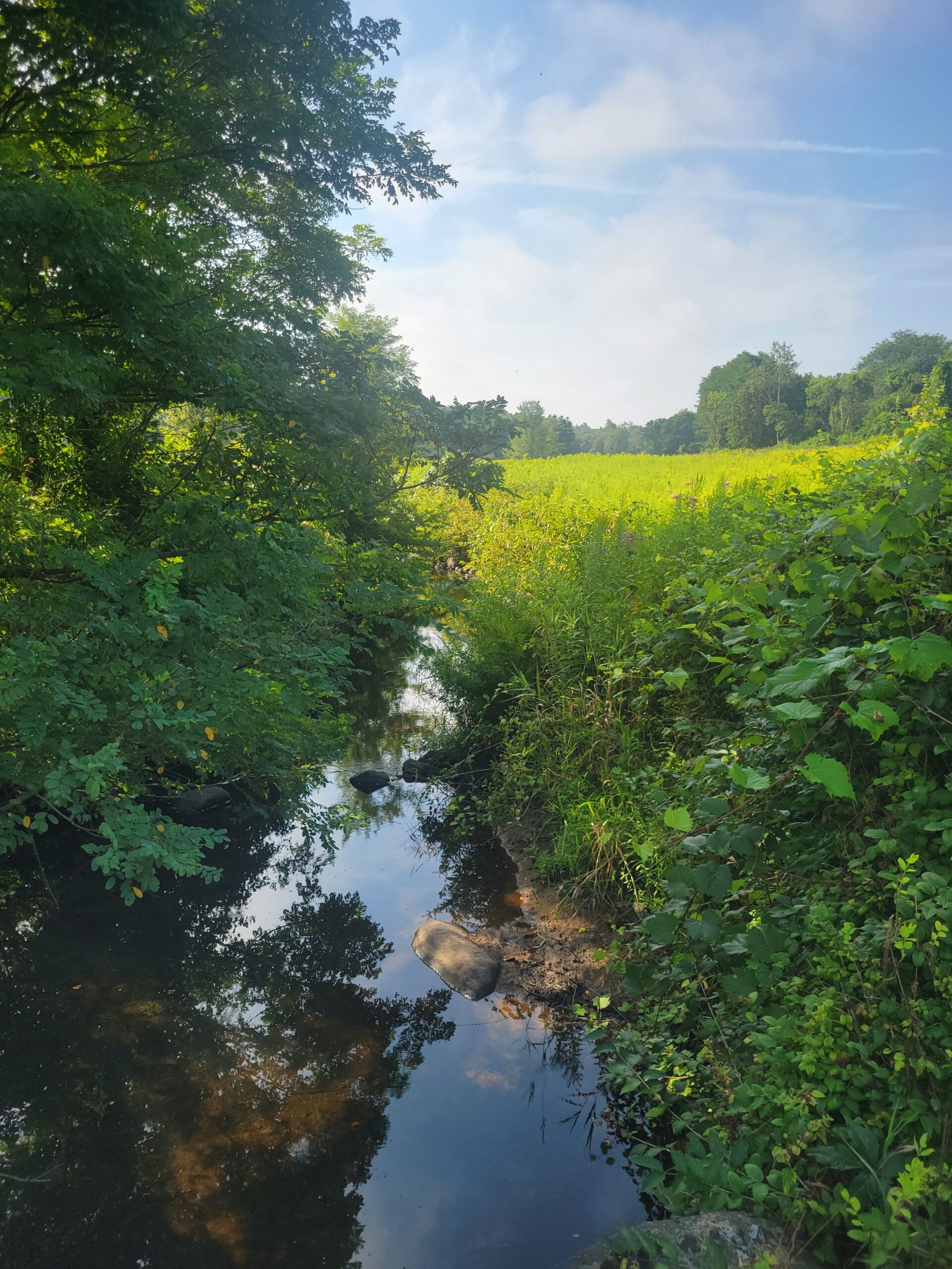
Centuries-old agricultural ditches have disrupted the marsh’s natural water flow, causing peat to break down and the land to sink just as sea levels rise. To reverse this trend, The Trustees and partners are rolling out Phase III of the Great Restoration project.
Building on our ongoing coverage of coastal healing and community resilience, like our recent feature on nature-based healing retreats, Phase III represents the next major step in making our coastal ecosystems more resilient.
Scaling Up: From Pilot to 1,000 Acres
Phase III builds on years of field research and data-driven monitoring across the North Shore:
- Phase I (85 acres): Tested low-impact restoration techniques at Old Town Hill in Newbury.
- Phase II (300+ acres): Expanded across properties in Newbury, Essex, and Ipswich to stabilize the marsh from further decline.
- Phase III (1,000+ acres): Scaling up to fortify over 1,000 additional acres across Trustees and partner lands.
Meeting the Team: Coastal Ecology in the Field
While light machinery and restoration crews work to restore the landscape, a dedicated ecology team works on the ground during the summer months to monitor the marsh’s health and safeguard local wildlife. Leading these frontline monitoring efforts this summer are Andrew Sharp, Seasonal Coastal Ecologist at The Trustees, alongside Coastal Ecology Intern Ava Hudgins.
Together, Andrew and his team conduct essential daily field research – surveying sensitive bird populations and monitoring shoreline erosion, and mosquitos – to ensure restoration work stays in harmony with the surrounding ecosystem.
Nature-Based Solutions in Action
Instead of heavy industrial machinery, crews use nature-inspired techniques to restore the marsh’s natural elevation:
- Ditch Remediation: Native salt hay (e.g., Spartina patens) is harvested and packed into abandoned ditches to trap sediment.
- Runnel Digging: Shallow channels drain trapped surface water to prevent “marsh drowning” and encourage native plant regrowth.
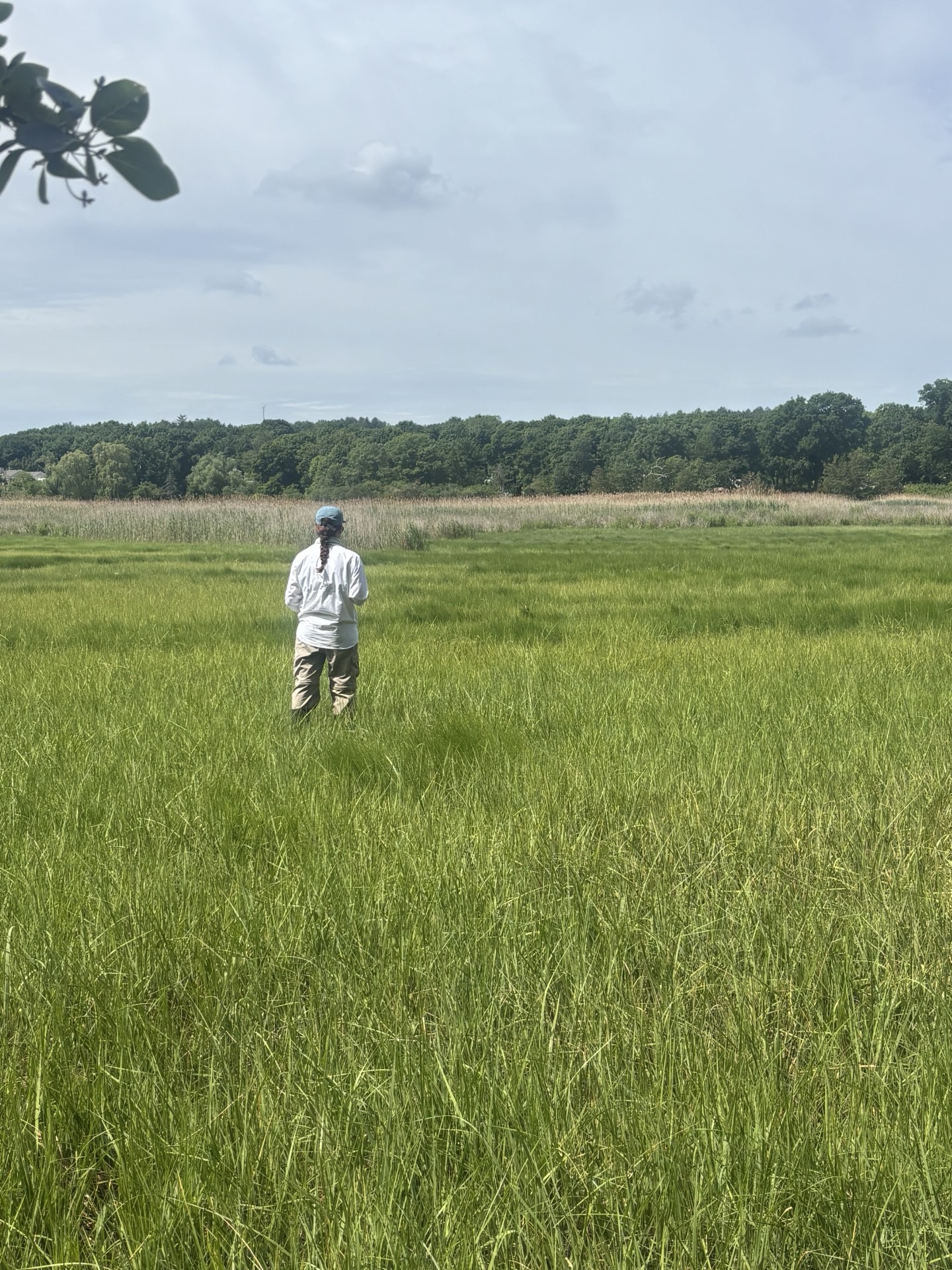
Seasonal Intern Ava Hudgins works in the Great Marsh
Protecting Wildlife Ahead of the Machinery
Behind the physical restoration is an ongoing monitoring operation designed to protect sensitive wildlife. Before equipment moves onto the marsh, Andrew and Ava conduct slow area searches, walking 10 to 15 feet apart across targeted sites, to detect nesting birds and map protected areas.
“The restoration work involves moving machinery (walk-behind tractors and an excavator) through the marsh, as well as the mowing of marsh vegetation. If that work occurs in an area where Saltmarsh Sparrows are breeding, it could disturb the birds and interfere with their daily activities or even destroy nests,” explains Andrew Sharp. “Ava and I go out to these places and delineate areas where Saltmarsh Sparrows are breeding. I give that information to the contractor, and he directs the crew on what areas to avoid and how to navigate around those sensitive areas.”
Using the Field Maps app, the team logs sparrow detections, individual counts, and tide status in real time to ensure state-protected nesting grounds remain undisturbed.
Tracking Erosion and Managing Hydrology
Restoring high marsh elevation is crucial for species like the Saltmarsh Sparrow, which nests just above high-tide lines. Beyond bird surveys, Andrew’s team tracks key physical indicators across the ecosystem:
- Erosion Tracking: Erosion and accretion are natural in tidal systems, but human disruption can cause marshes to lose land faster than it builds up. By measuring the distance between set monitoring points and creek drop-offs (edges), the team tracks how fast the marsh is eroding over time.
- Mosquito Monitoring: Monthly surveys with the Northeast Mosquito Control District track mosquito larvae in standing water. As runnels improve tidal flow and drain waterlogged areas, standing water decreases, naturally reducing mosquito breeding habitats.
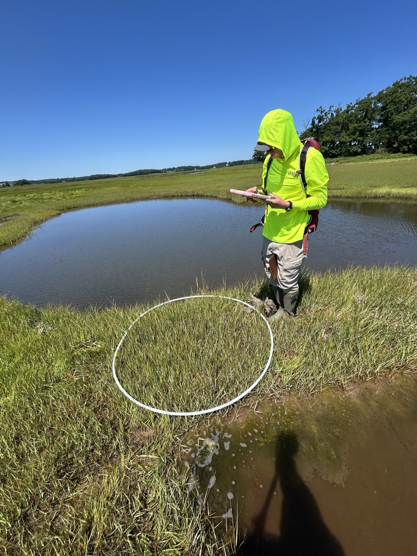
Seasonal Staff Member Andrew Sharp out on the marsh.
Observing the Seasons on the Marsh
Field monitoring also provides a front-row seat to the natural rhythms of North Shore wildlife throughout the season.
“I’ve enjoyed watching the shifting of biodiversity as we move from spring to summer, to late summer,” notes Andrew. “For example, the Willets and Red-winged Blackbirds that were noisily occupying the marshes all summer have all but disappeared from the interior of the marsh as they head elsewhere… At the same time, the marshes are now filled with Least Sandpipers and other shorebirds that spend the summer in the Arctic and are now on their way south.”
As Phase III moves forward, monitoring teams continue tracking water levels, vegetation, and wildlife activity to set a benchmark for coastal resilience across New England.