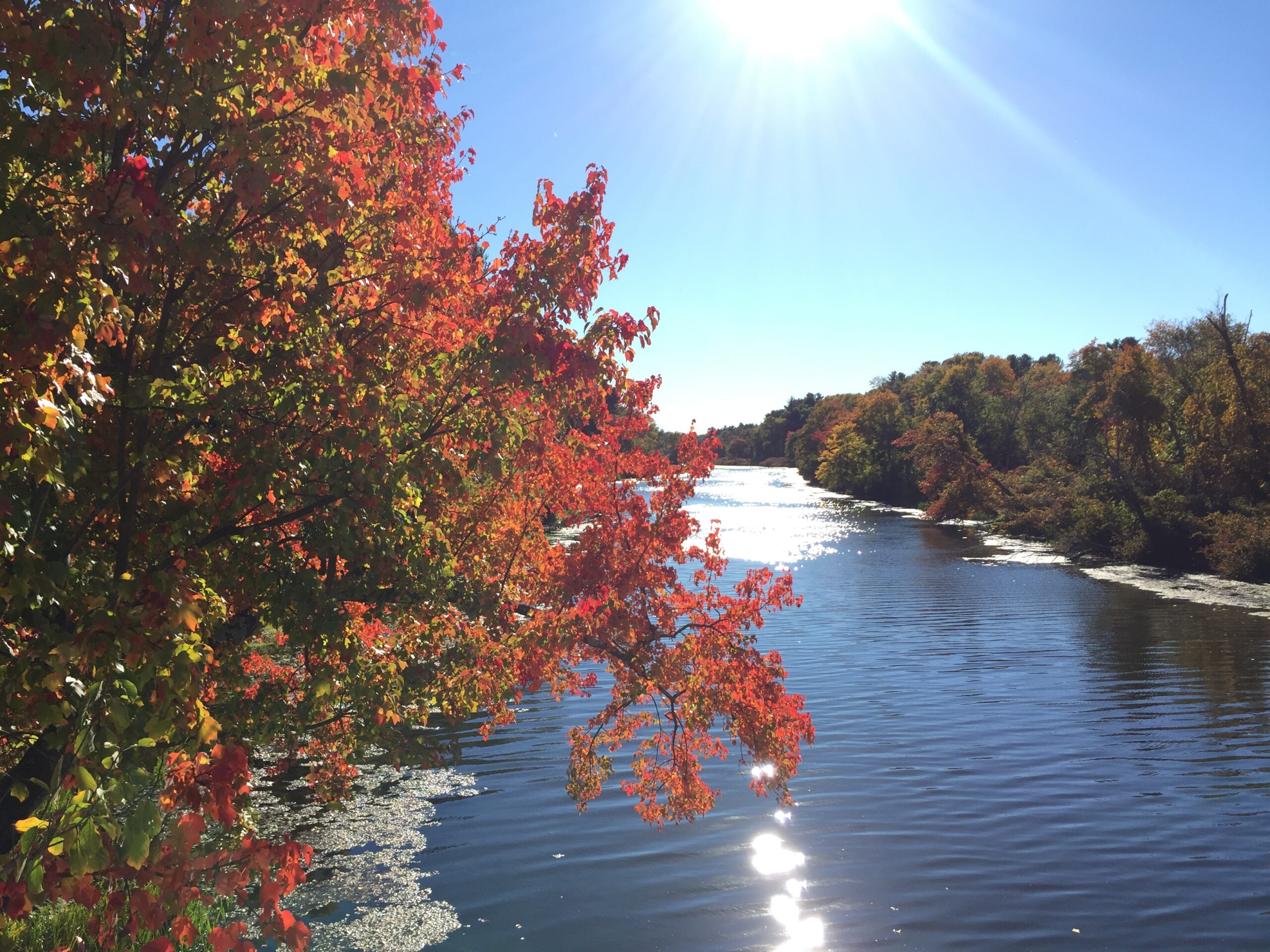
Chesterfield Gorge in Chesterfield. Photo by Peter Marotta
Overview
Throughout The Trustees’ properties are various wetlands and waterways including ponds, streams, rivers, and forested wetlands. These habitats are crucial for biodiversity, species migration, and ecosystem function including carbon storage and sequestration, flood control, and water quantity and quality. Human-made barriers such as dams, culverts, and stream manipulation have altered these habitats: constricting flow, increasing water temperatures, causing algal blooms, and restricting species movement. In addition, barriers can increase the risk of flooding, lead to infrastructure failure, or cause erosion and sedimentation downstream.
The Trustees is tackling these problems with a forward-looking approach to address both the climate change and biodiversity crises. We have a long history of habitat restoration and management to protect biodiversity and increase wildlife habitat that has included several barrier removal projects. In 2009, along with our partners, we removed 3 dams along Red Brook at the Lyman Reservation, reconnecting 4.5 miles of stream for sea-run brook trout and other species. In addition, we have addressed severe erosion impacts at Naumkeag and Bartholomew’s Cobble, protecting infrastructure, rare species, and downslope wetland habitats.
To achieve our goals of increasing habitat connectivity within our streams, rivers, and floodplains, improving habitat for key species (such as cold water fish), reducing the risk of hazard dam failure, and improving resiliency of our rivers and streams to climate impacts, we have identified more than 40 dams either on Trustees properties or nearby and are prioritizing dam removal for those with the greatest potential for climate resilience and ecological benefits. In addition, we are working to improve riparian and floodplain habitats through active restoration, further documenting and prioritizing culverts and other barriers, developing partnerships at the watershed scale, and working collaboratively with municipalities to address flooding concerns.
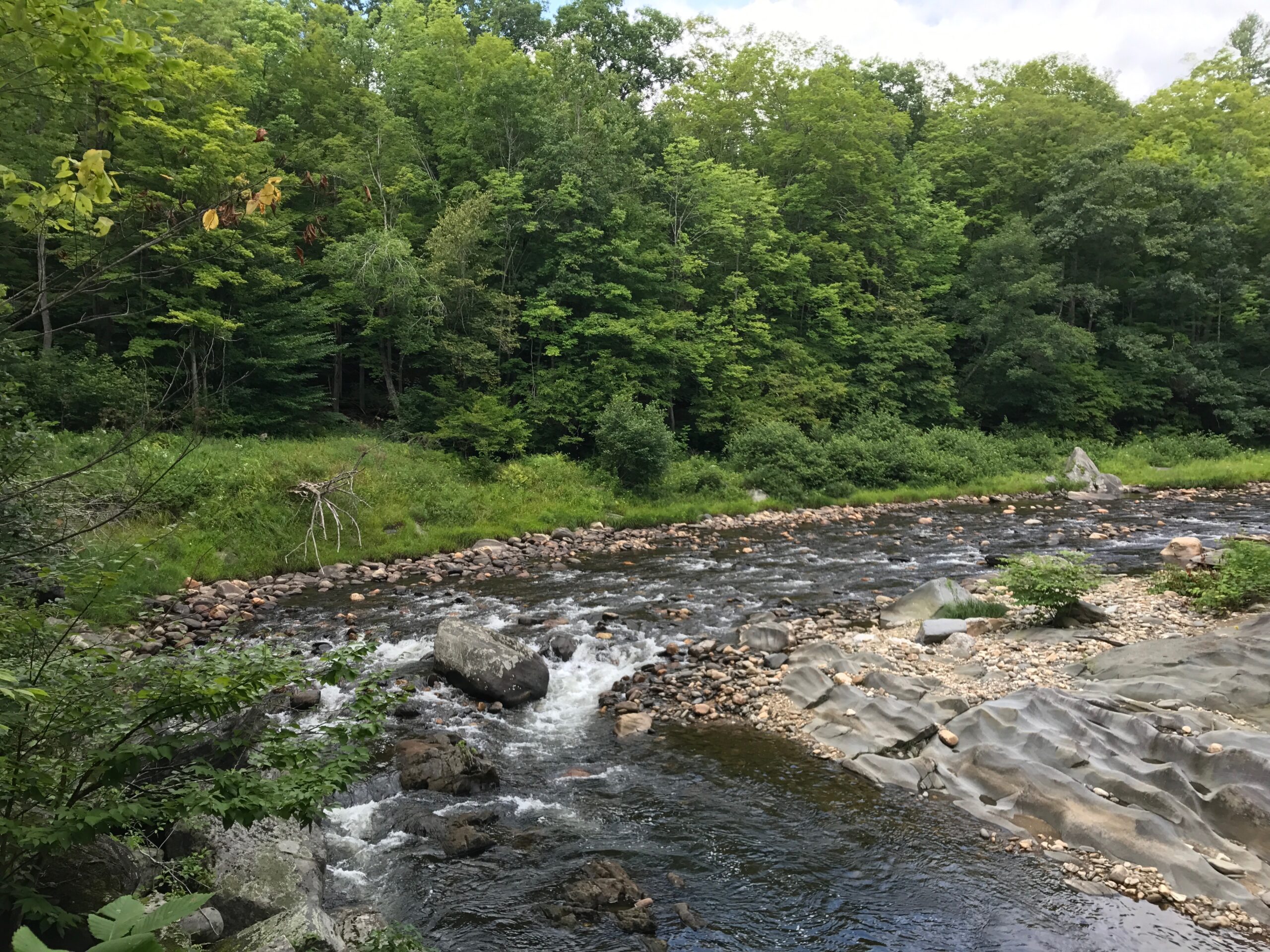
Beaver Brook in Williamsburg and Northampton.
Our Strategy
Dam and culvert removal
The Trustees completed a statewide inventory of dams in 2022 and evaluated their restoration potential, including likelihood of success and the ecological benefits of removal. Of the nearly 40 dams given this initial review, ten were identified that would benefit from thorough feasibility studies to evaluate current conditions of the dams and their impoundments, to gain a better understanding of the upstream and downstream impacts of removal, and to gather information on cost estimates for removal. Dam removal is a complex activity, taking 5-7 years to complete on average, and is subject to the timeframes of funding opportunities in addition to that of permitting. In addition to compiling this information on dams, we have also begun to document locations and conditions of culverts on and abutting Trustees reservations.
Riparian and wetland habitat restoration
Riparian and wetland habitats are diverse in size, structure, composition, and location, but all are important for a variety of ecosystem services including water quality and quantity, biodiversity, and flood mitigation. Many wetland habitats were considered undesirable in the past, and were impacted by draining, conversion, and filling. By restoring these degraded habitats, we address the dual crises of climate change and biodiversity loss. Functioning floodplains and wetlands capture and store water, reducing flooding downstream, and providing a source of water for wildlife during drought. The Massachusetts State Wildlife Action Plan includes more than 380 species that occur in or are dependent on wetlands.
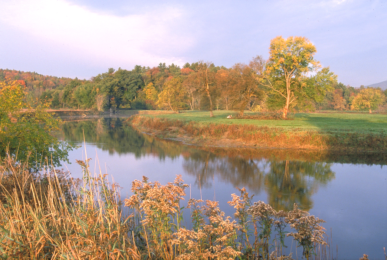
Fall foliage along the banks of the Charles River at Rocky Narrows in Sherborn.
Current Projects
Bartholomew’s Cobble Floodplain Forest Restoration, Sheffield
In 2013, we restored 10 acres of old fields and hayfields at Bartholomew’s Cobble to floodplain forest, a significant natural community/habitat that includes several rare plant species. We are now looking at the next phase of increasing floodplain forest at Bartholomew’s Cobble. Corbin’s Neck – which is nearly surrounded by the Housatonic River – has been managed as pasture and is currently experiencing increased erosion as the river erodes the steep banks. By converting the pasture to floodplain forest, the erosion may slow as the deep roots of trees and shrubs stabilize the soil, increasing the climate resiliency while also supporting significant natural habitats.
Lunden Pond Dam, Peaked Mountain, Monson
Lunden Pond dam is a small-sized dam (approximately 280-ft long earthen embankment) with an approximately 8–10-acre impoundment. It was constructed in 1957 following the failure of an older structure in 1954. The original dam to create the pond was built in 1918 by the Lunden family and appears to have been created for recreational purposes. Currently the dam needs repair or removal as it is listed as a Significant Hazard by the Office of Dam Safety. The dam is located on an unnamed stream which is a tributary to Temple Brook, a Coldwater Fisheries Resource (DFW). The area surrounding the Lunden Dam impoundment and the downstream reach is Natural Heritage & Endangered Species Program (NHESP) Priority Habitat.
Removal of the dam will restore connectivity of the stream ecosystem allowing upstream passage of aquatic fauna, restore the vegetated wetland habitat of the impoundment, and reduce the safety, liability and maintenance costs of the dam itself. In 2023, we received a grant from MA DER for Preliminary Design for the removal of Lunden Pond Dam in partnership with the Town of Monson. This preliminary design work included a feasibility study, preliminary design plans, construction cost estimates, and a technical memorandum. Beginning in 2025, with funding through the MA Dam and Seawall Grant program, we have contracted to move the project through design and permitting for dam removal.
Learn More: Lunden Pond Dam Removal
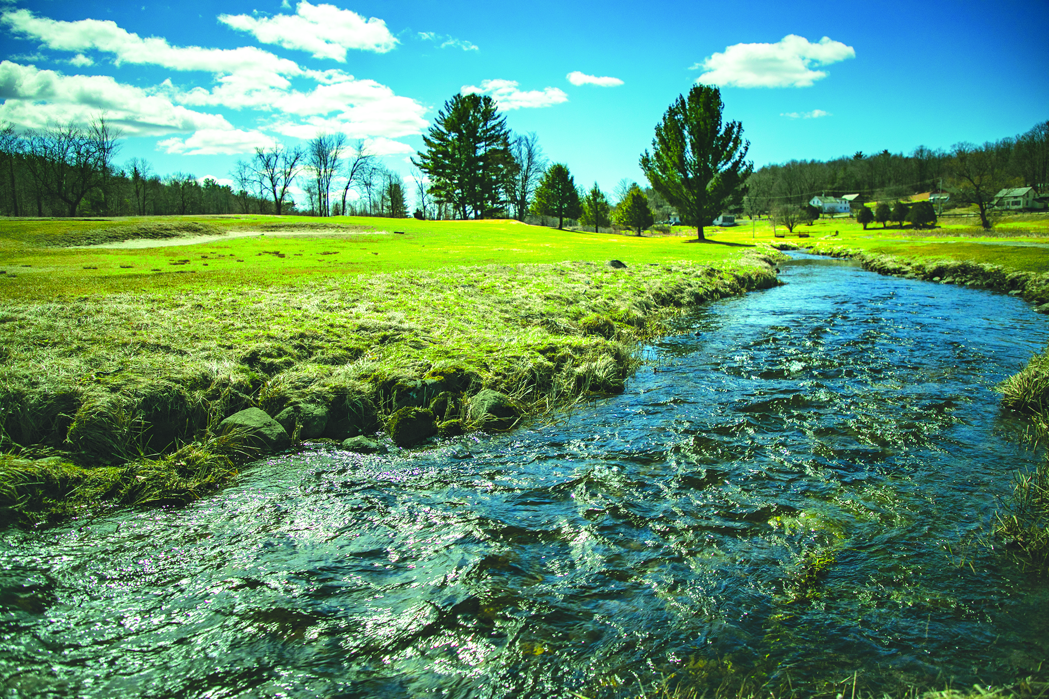
Beaver Brook ecological restoration, Williamsburg and Northampton
The newly acquired Beaver Brook includes an approximately 75-acre previous golf course and 175 acres of forest and wetlands. The main ecological restoration of the property will focus on approximately 90-acres including and surrounding the golf course which includes Beaver Brook, an unnamed tributary, several ponds, and marshes.
The streams and wetlands on the golf course have been heavily impacted by alterations to the natural drainage system including stream channelization and underground drainage pipes, creation of several ponds, a potential relocation of the brook, and management of native vegetation to keep the fairways clear. Restoration of the stream and wetlands may include planting of native trees and shrubs, addition of large woody debris into the stream, removal of drainage pipes impacting the stream, and other activities.
We have been working with local, state and Trustees biologists and ecologists to conduct habitat and population assessments for a variety of species including reptiles, fish, freshwater mussels, birds, and butterflies, among others. We have also contracted with Fuss & O’Neill to complete wetlands delineations for the project area, including historical wetlands previously drained by the former golf course and dairy farm.
Learn more: Beaver Brook Blog